Pikes Peak, Colorado
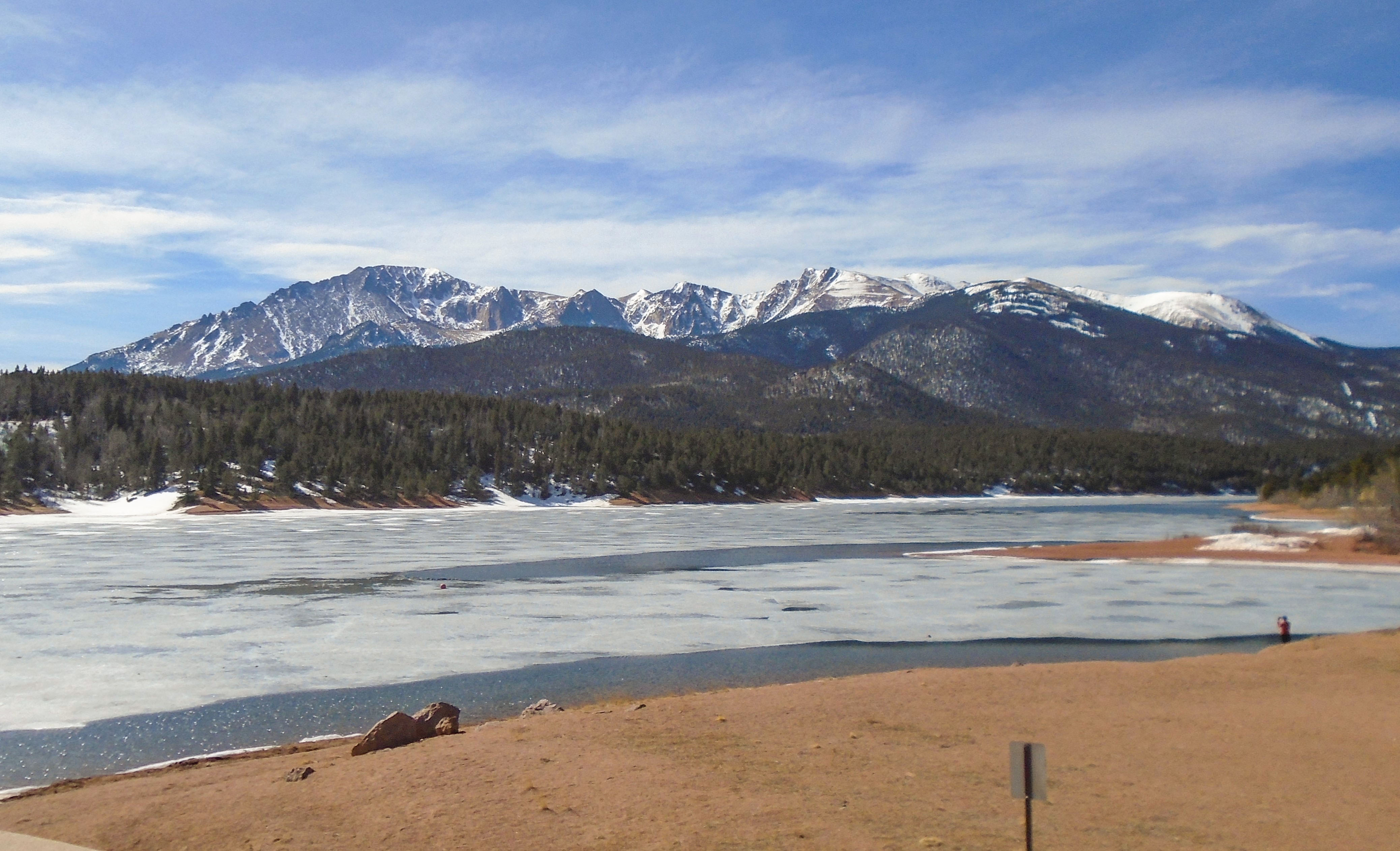
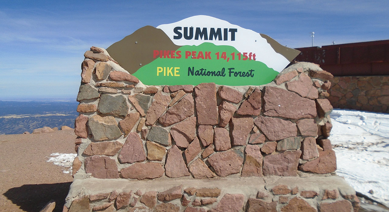
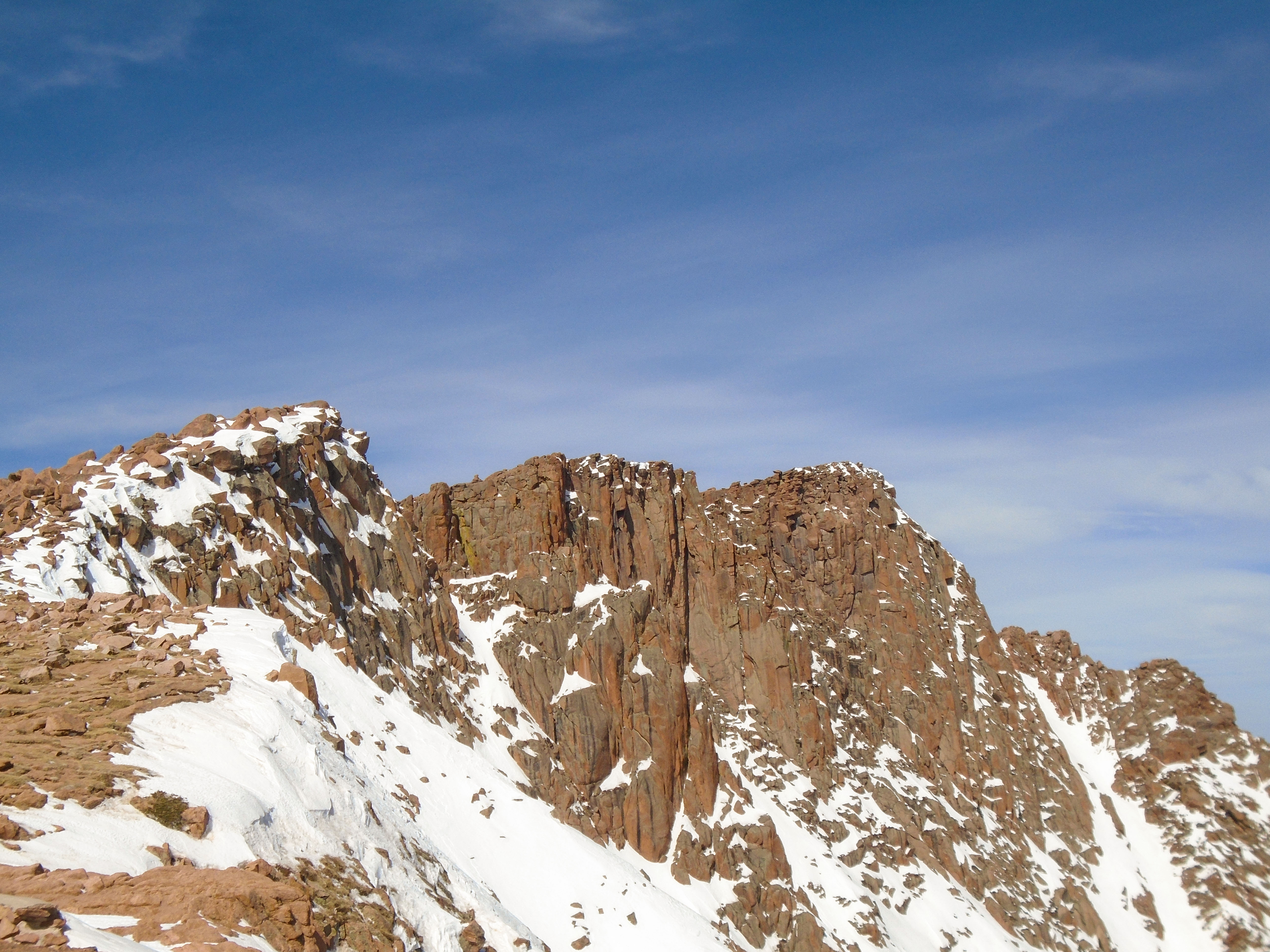
Pikes Peak is the highest summit of the southern Front Range of the Rocky Mountains in North America. The ultra-prominent 14,115-foot fourteener is located in Pike National Forest, 12 miles west of downtown Colorado Springs, Colorado. The town of Manitou Springs lies at its base.
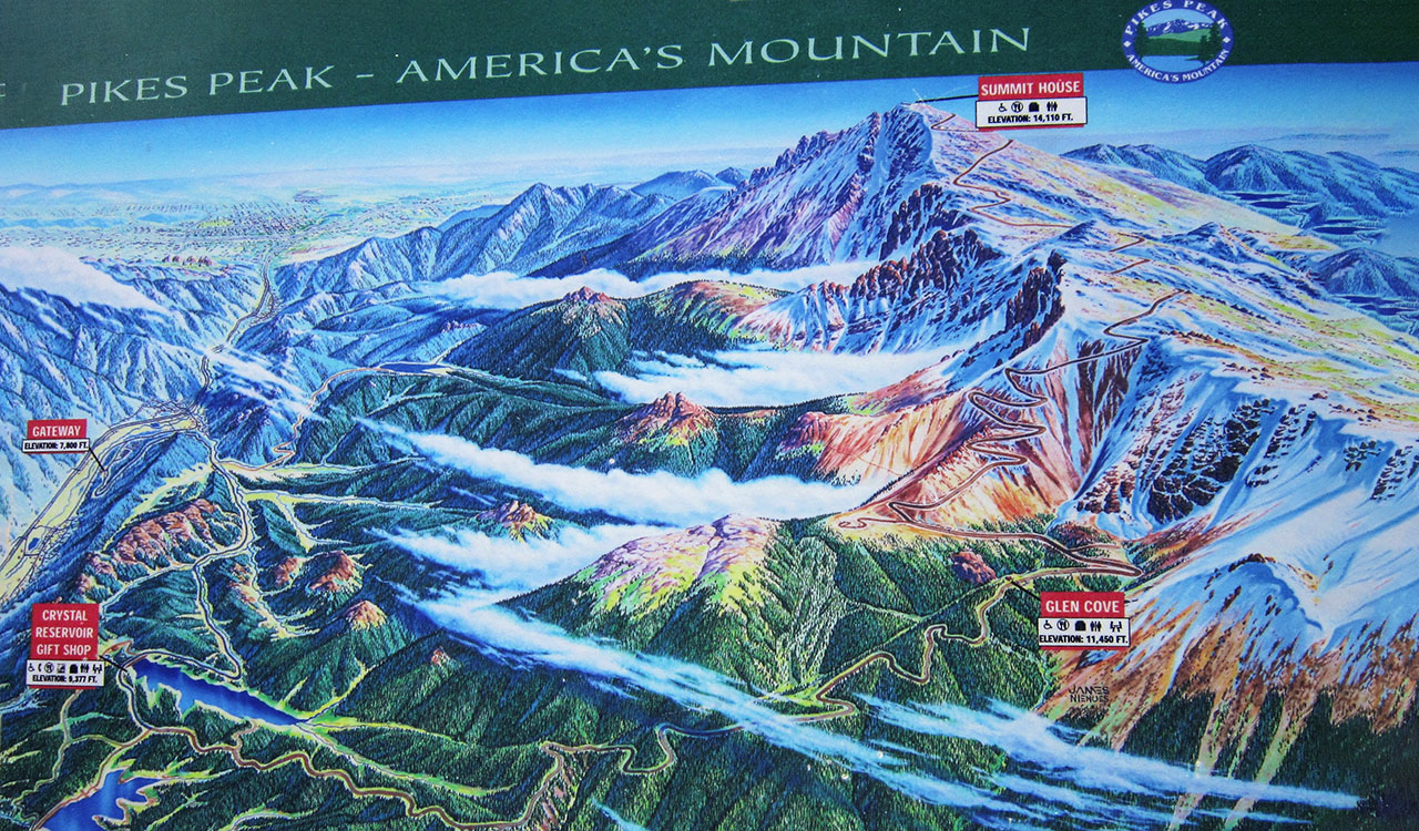
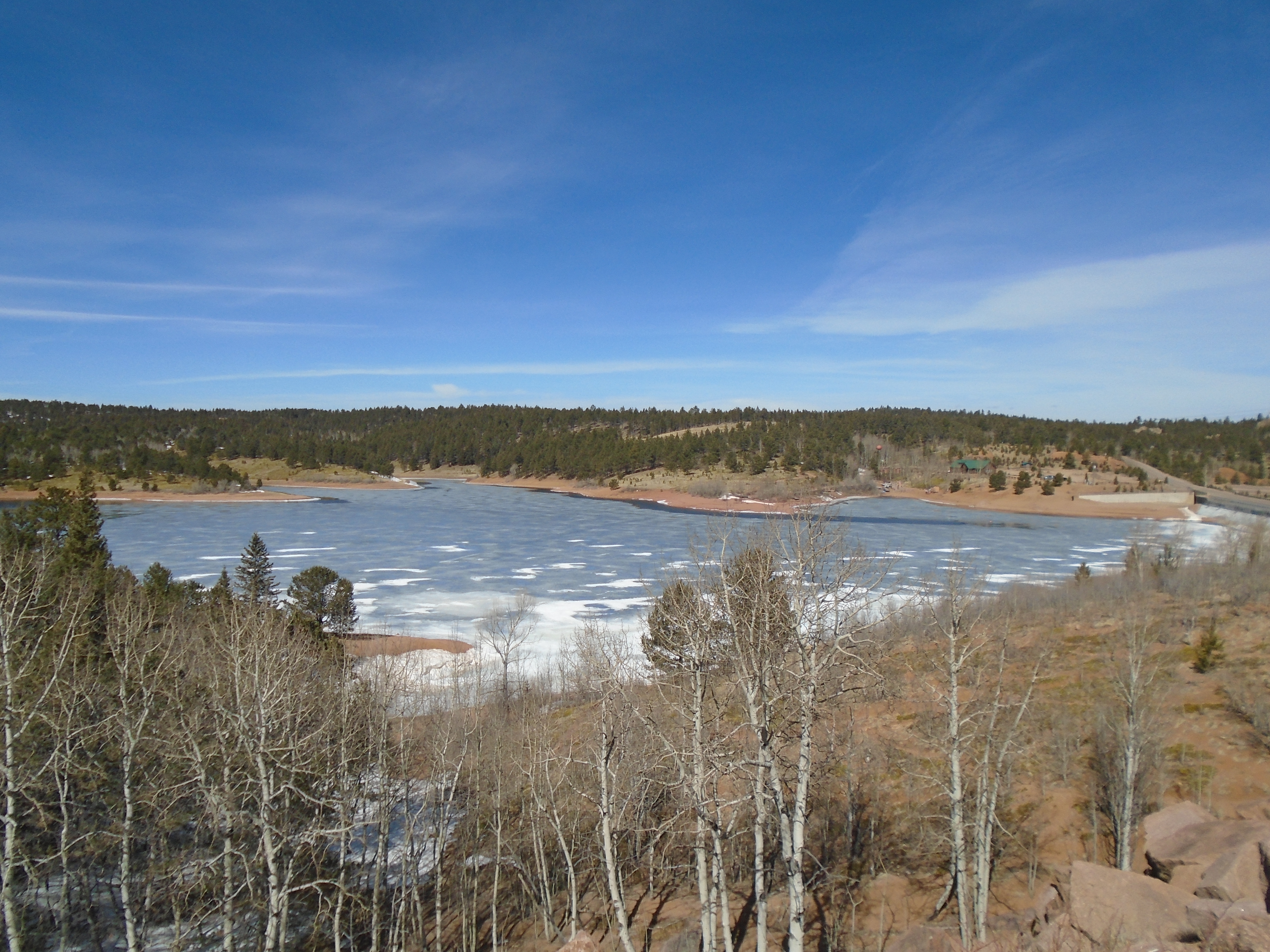
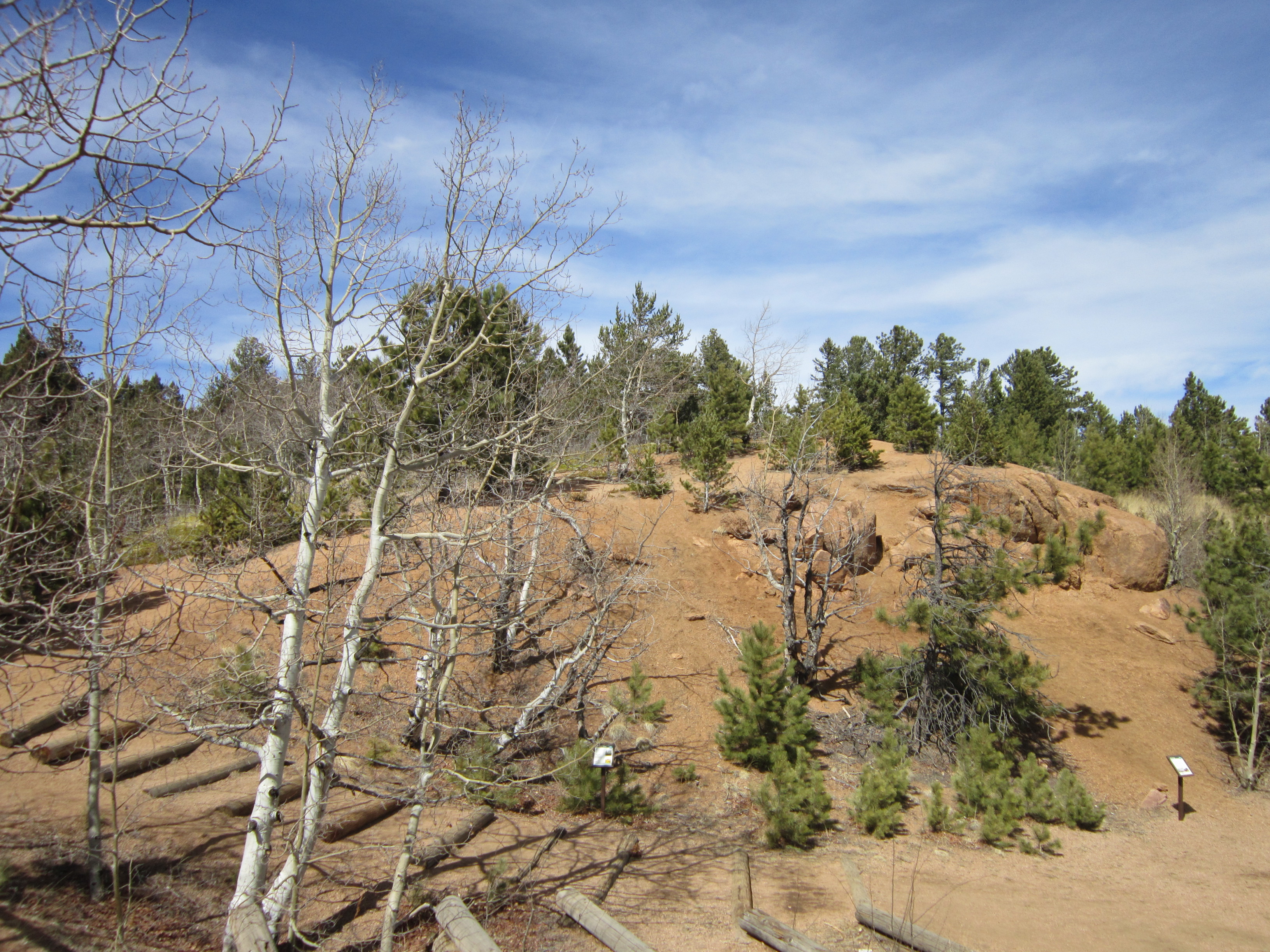
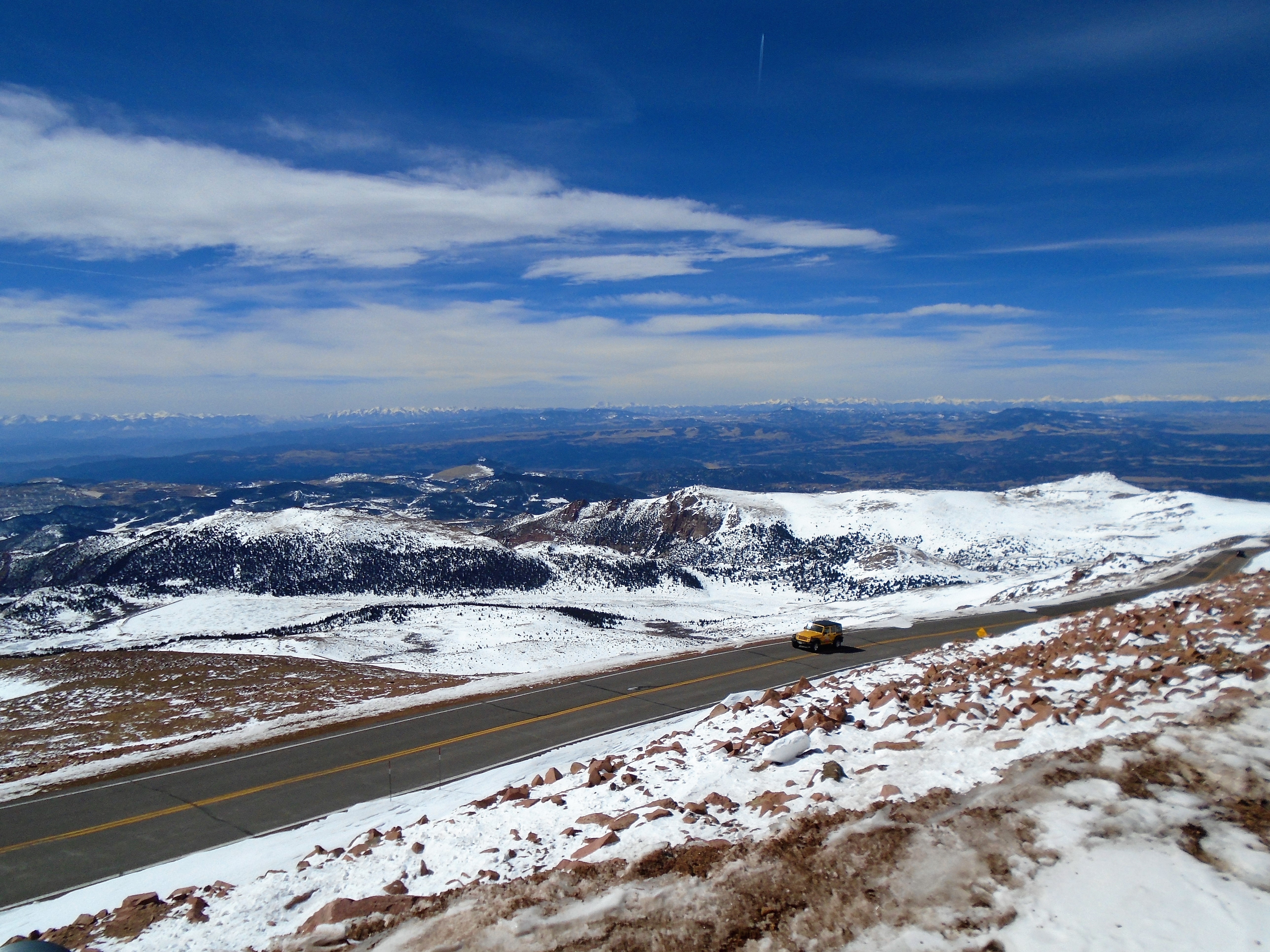
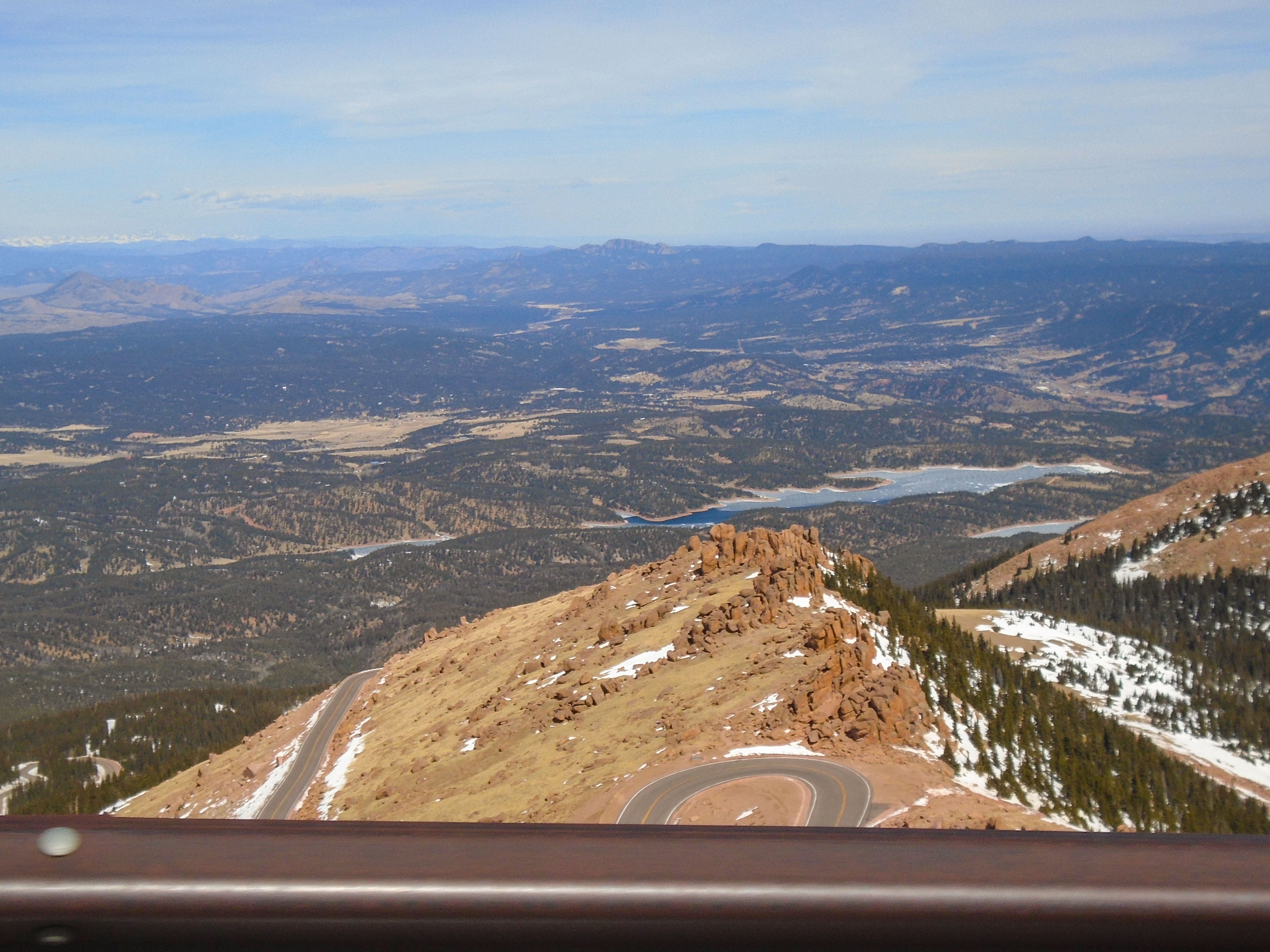
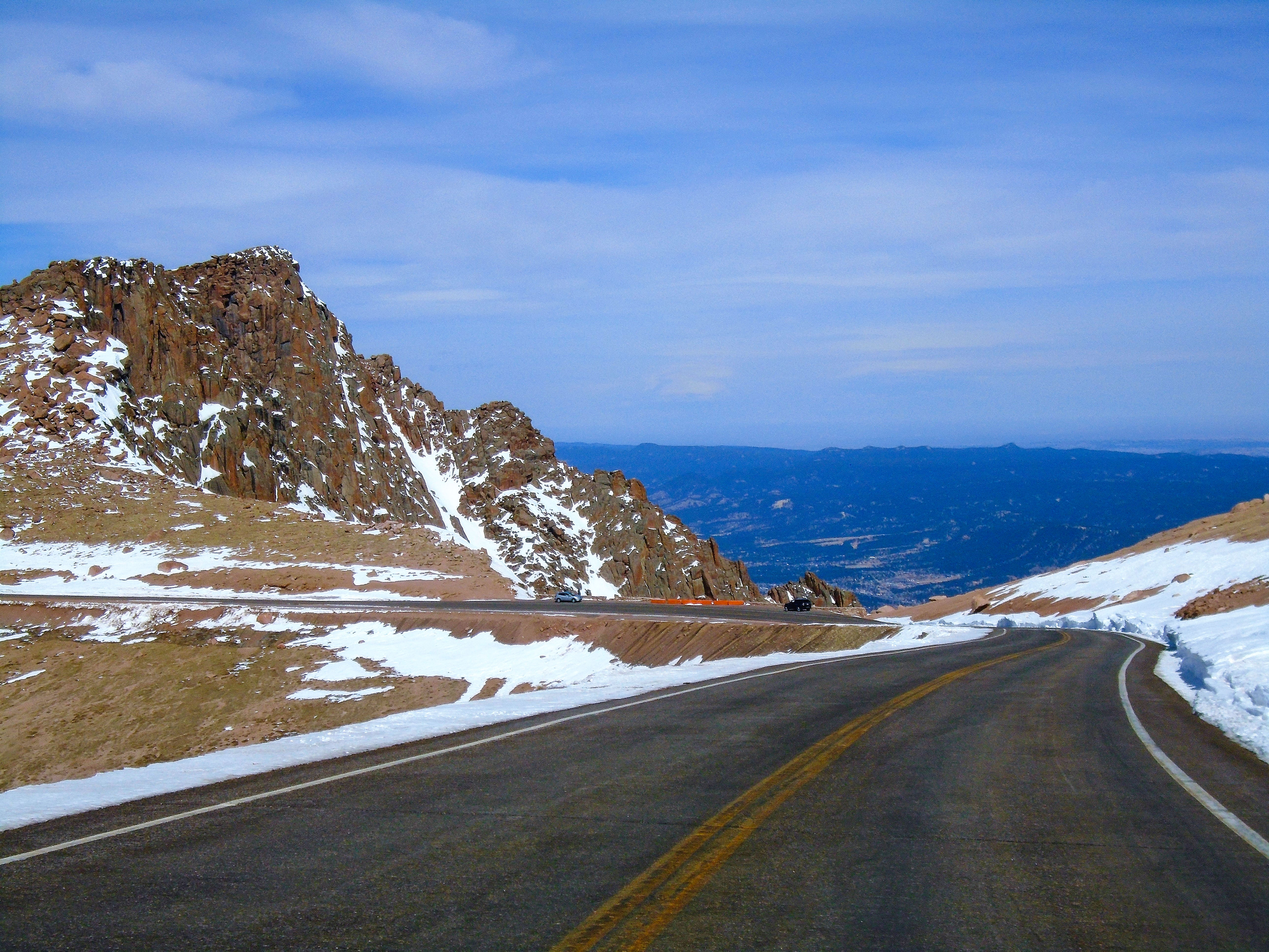
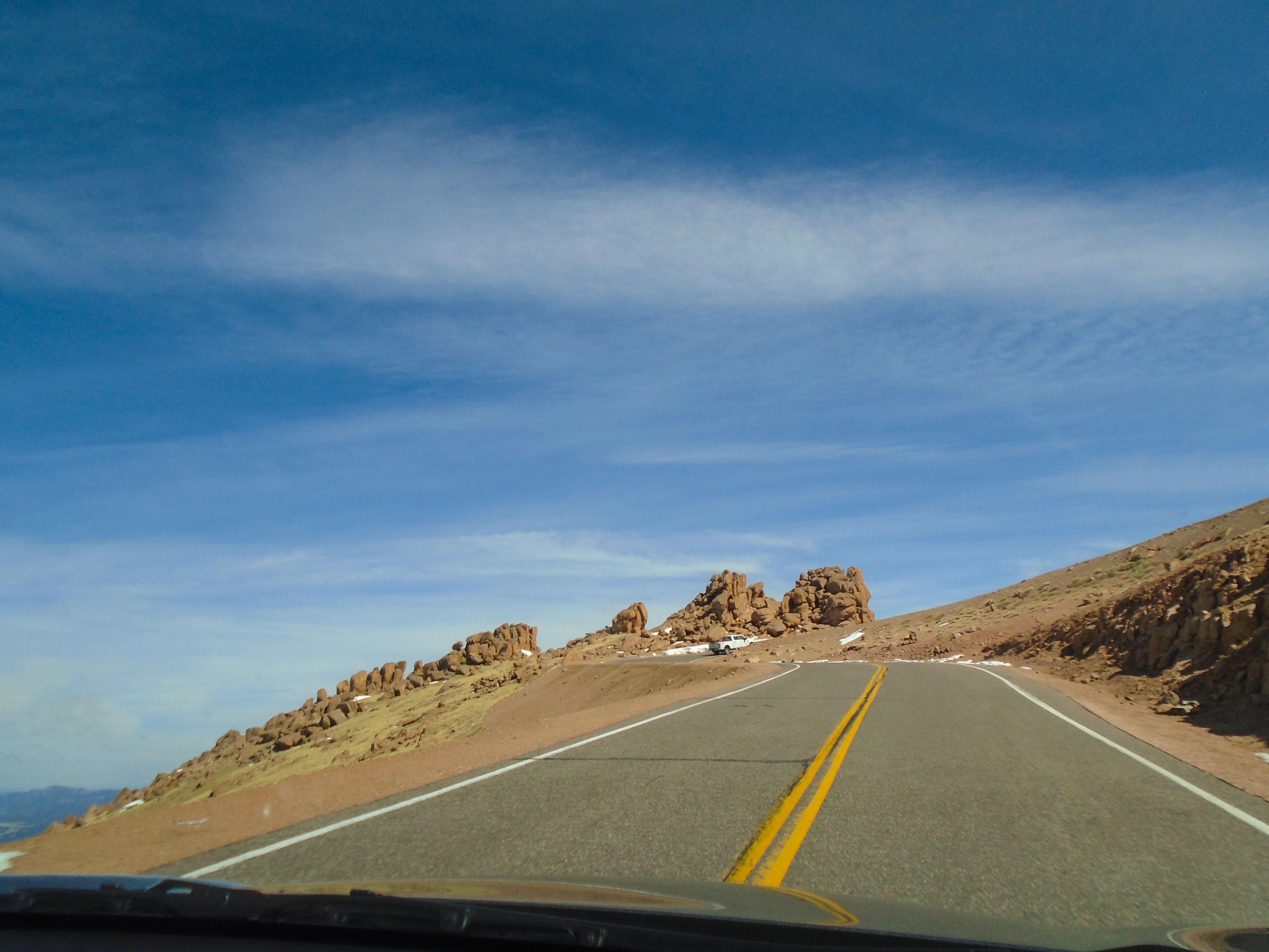
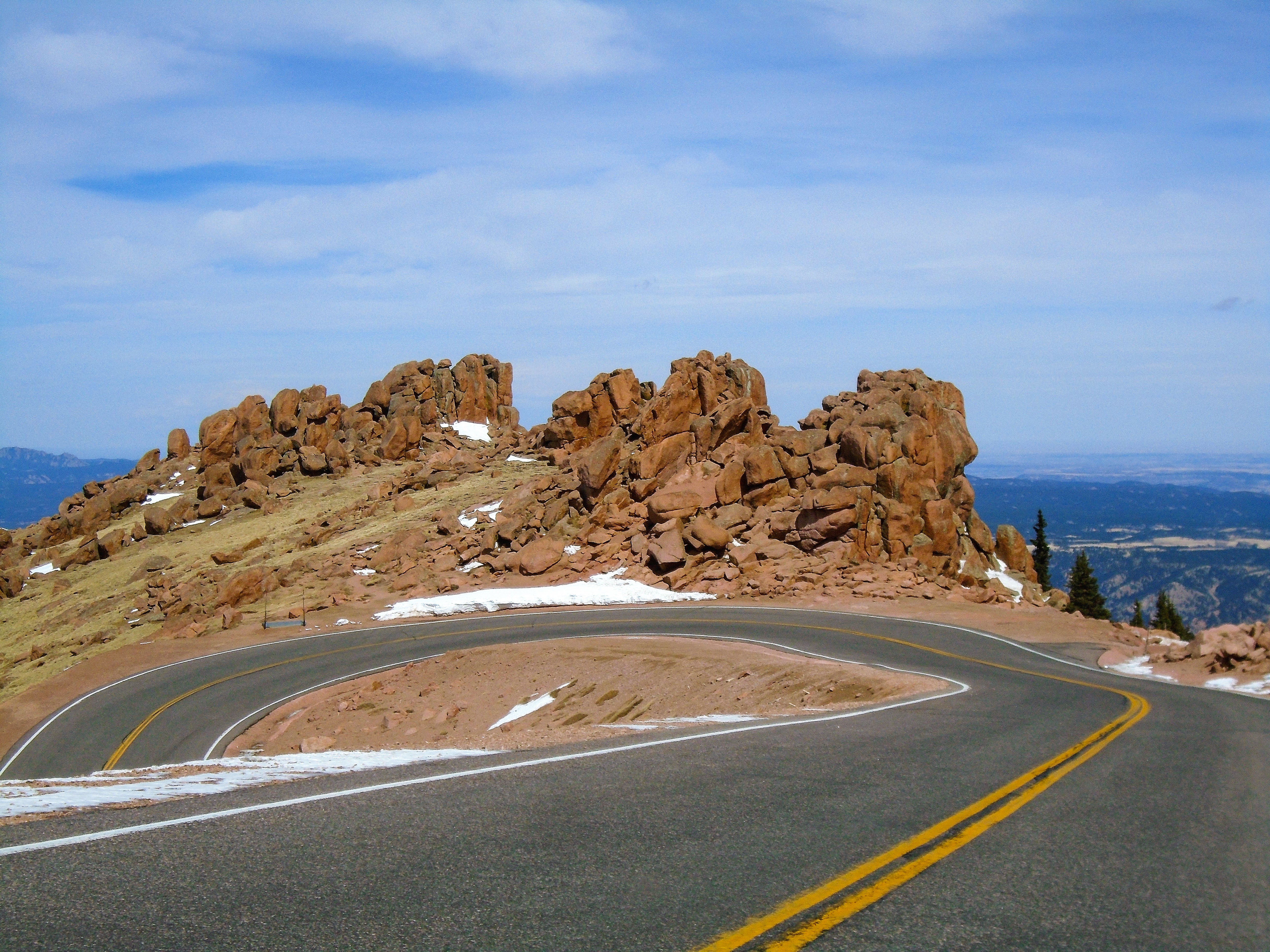
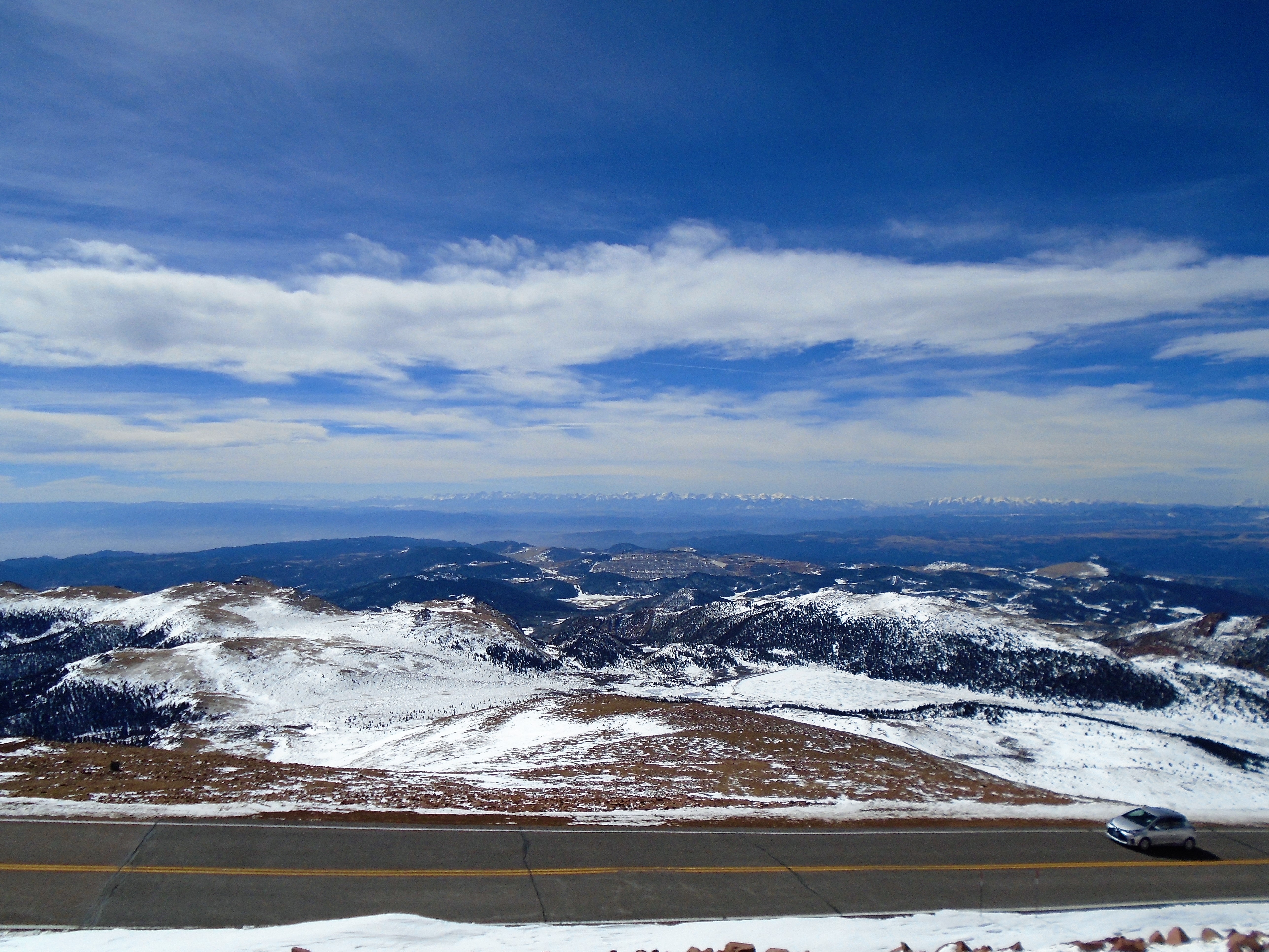
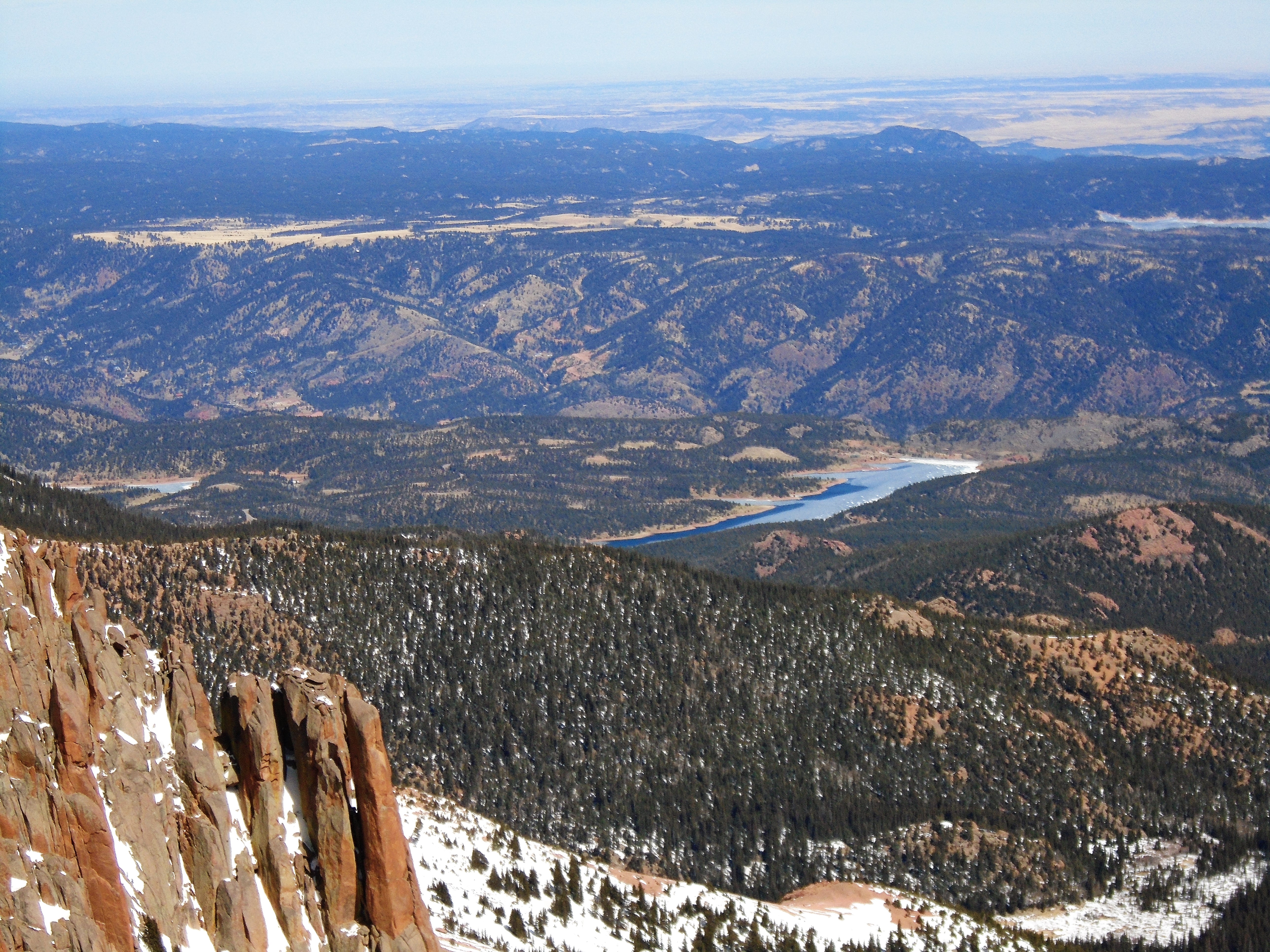
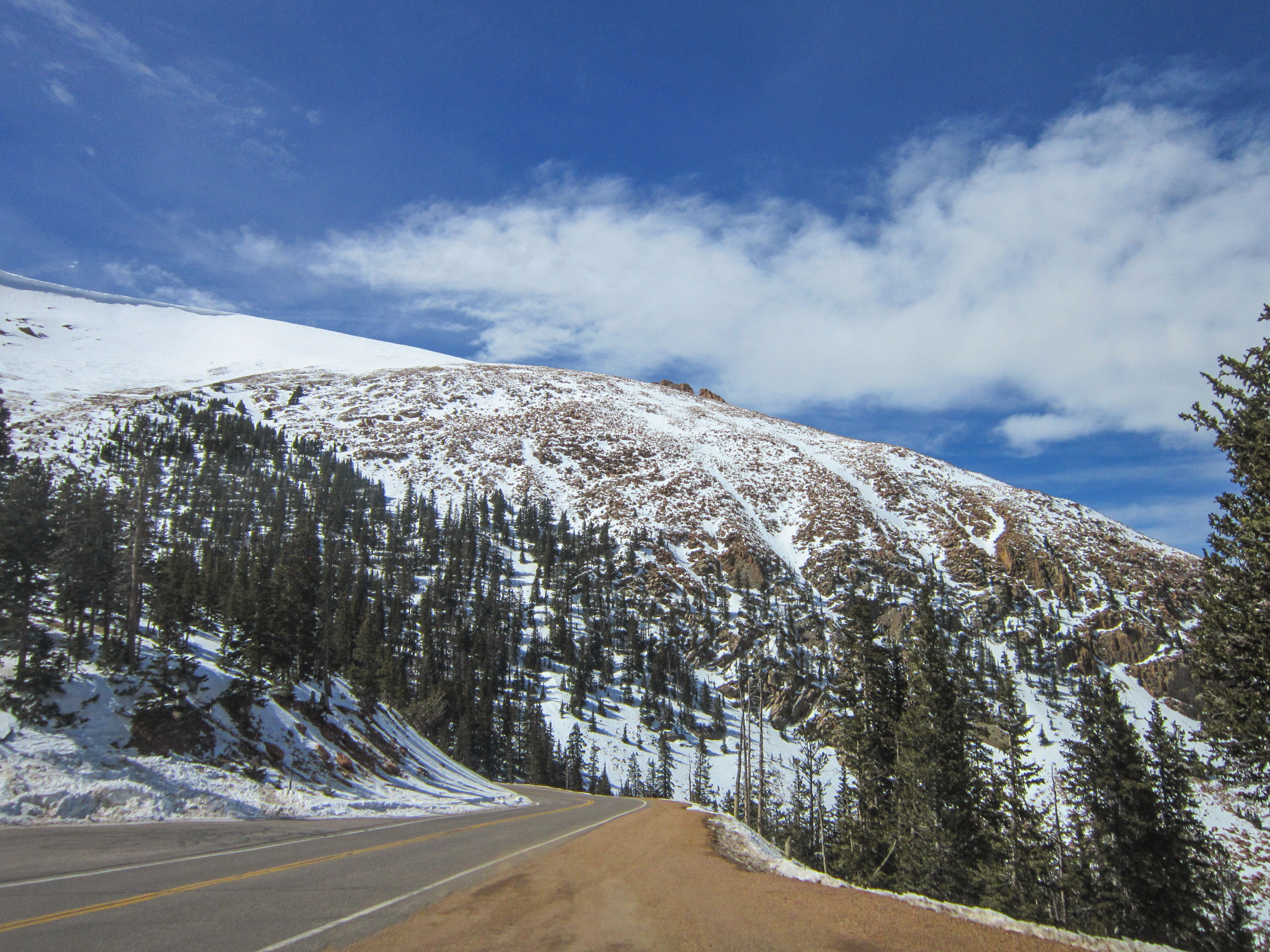
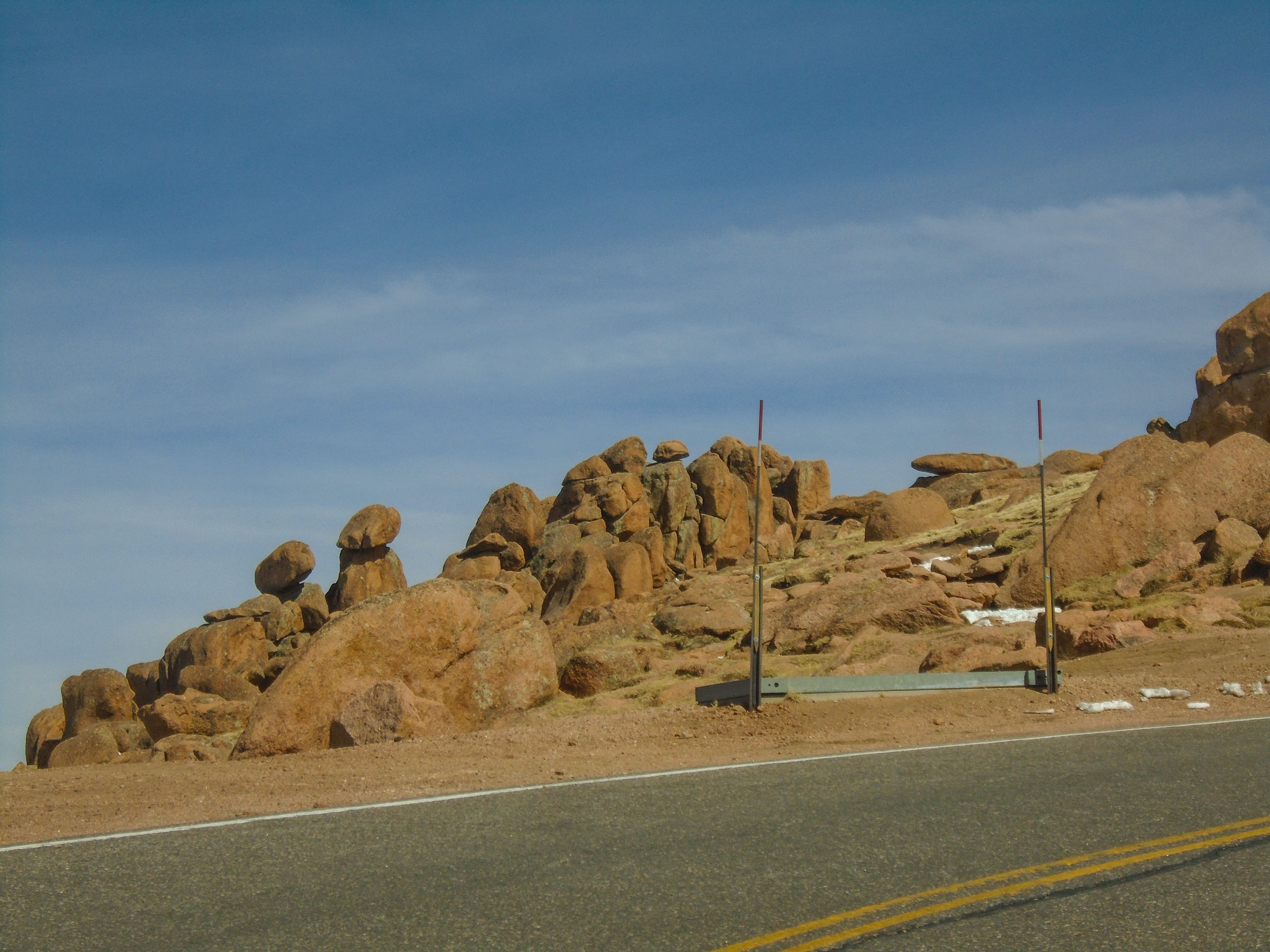
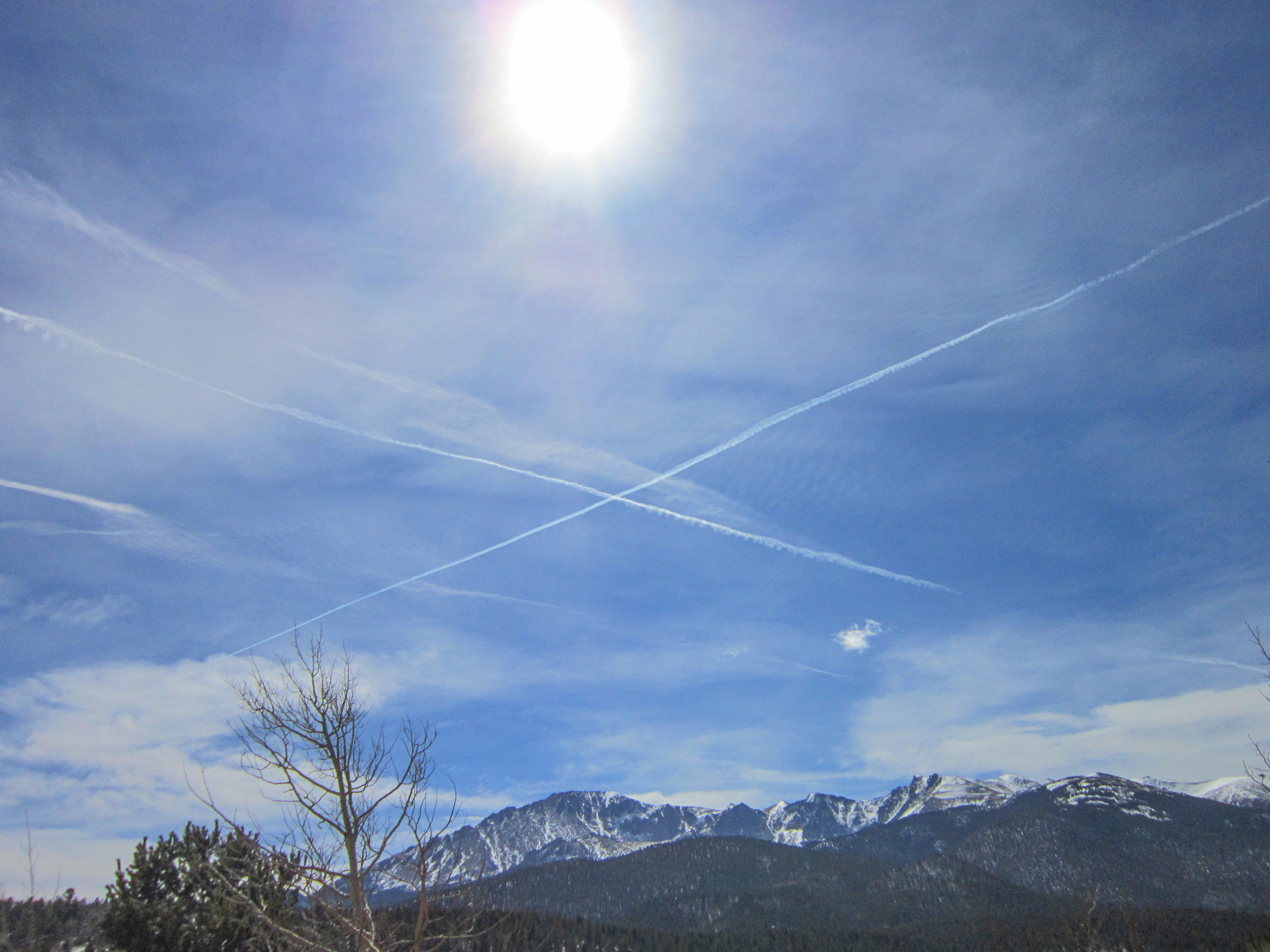
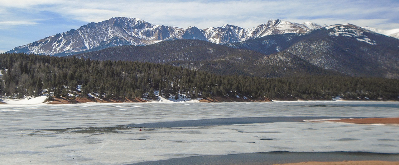
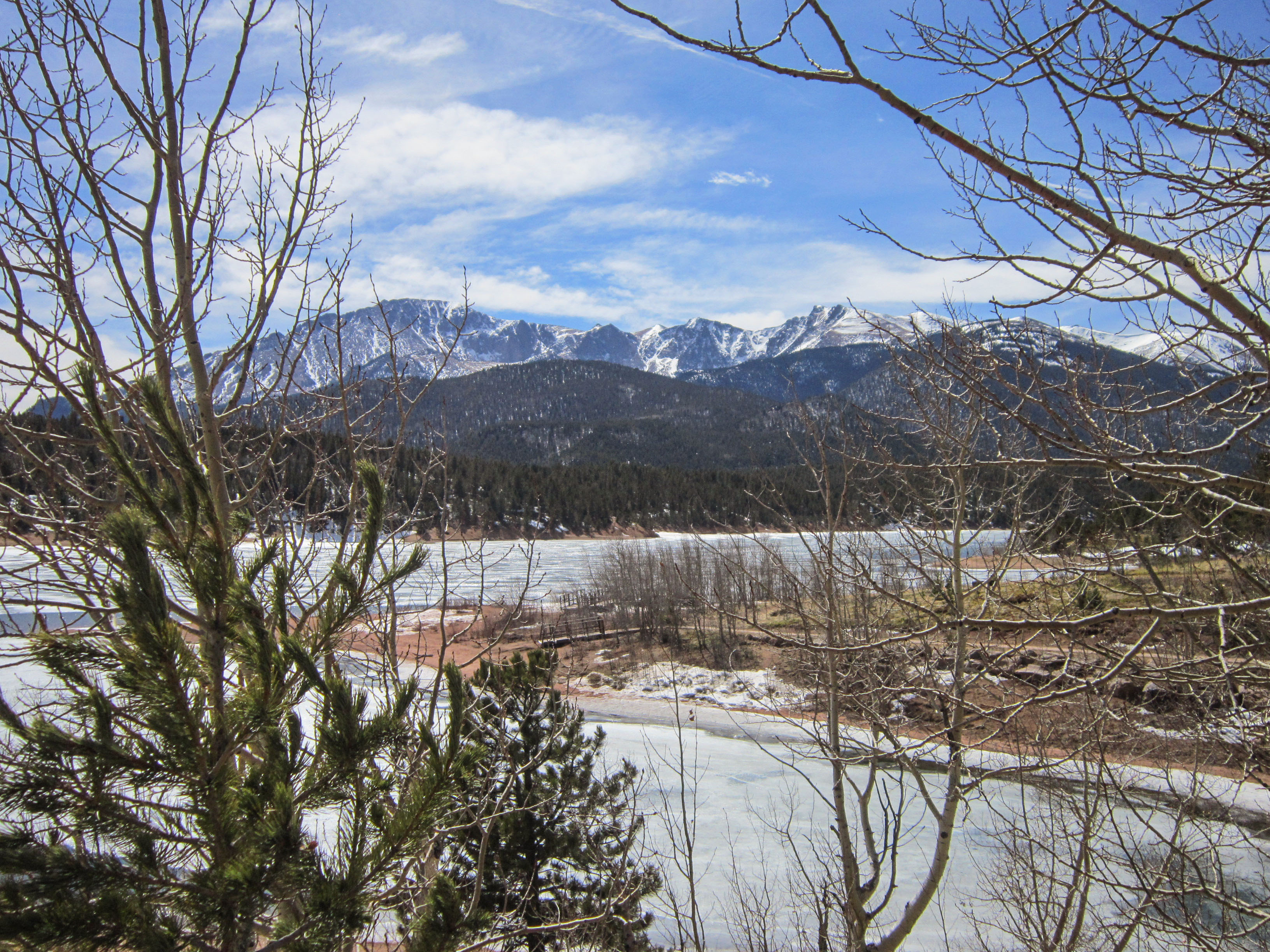
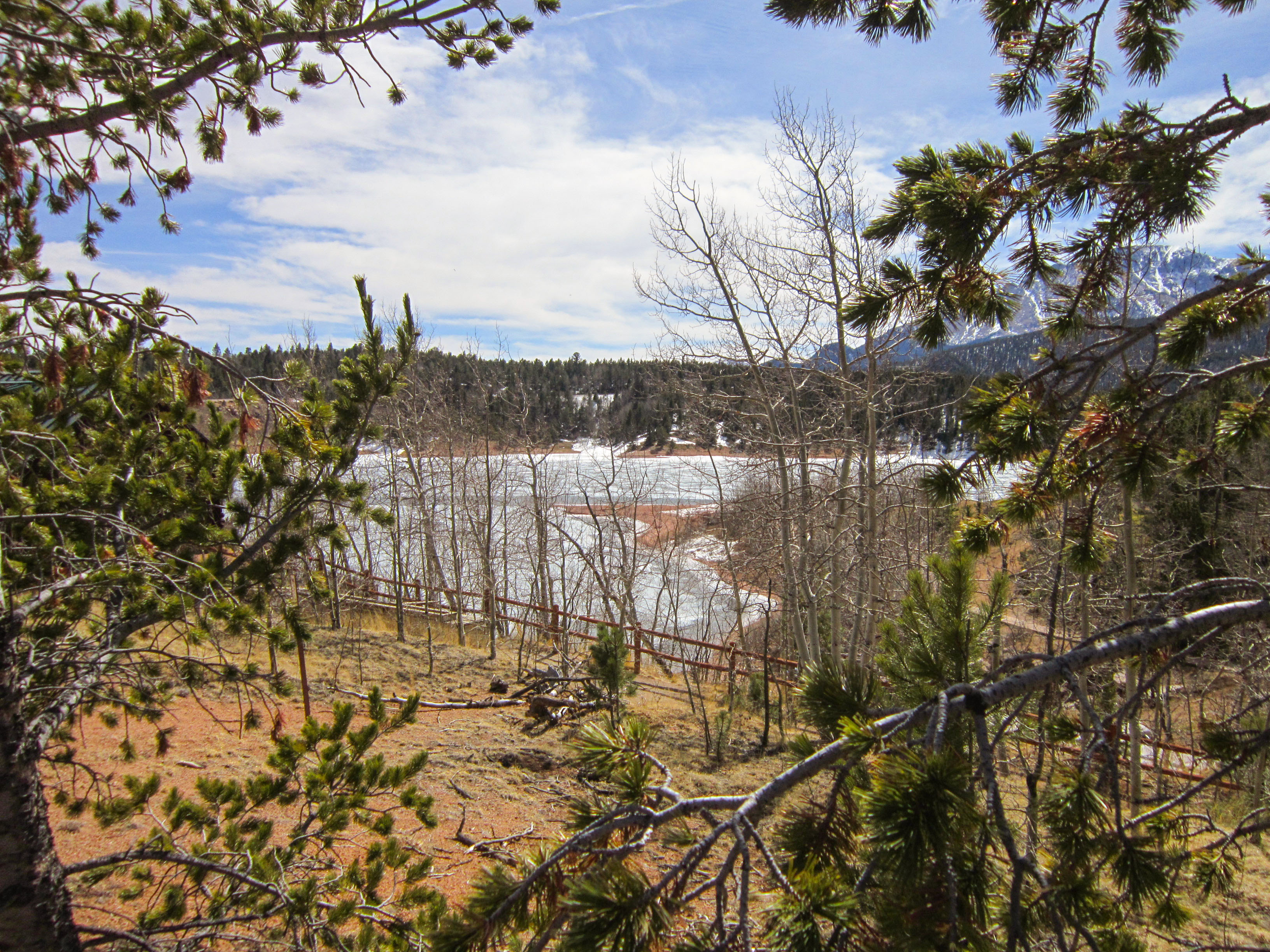
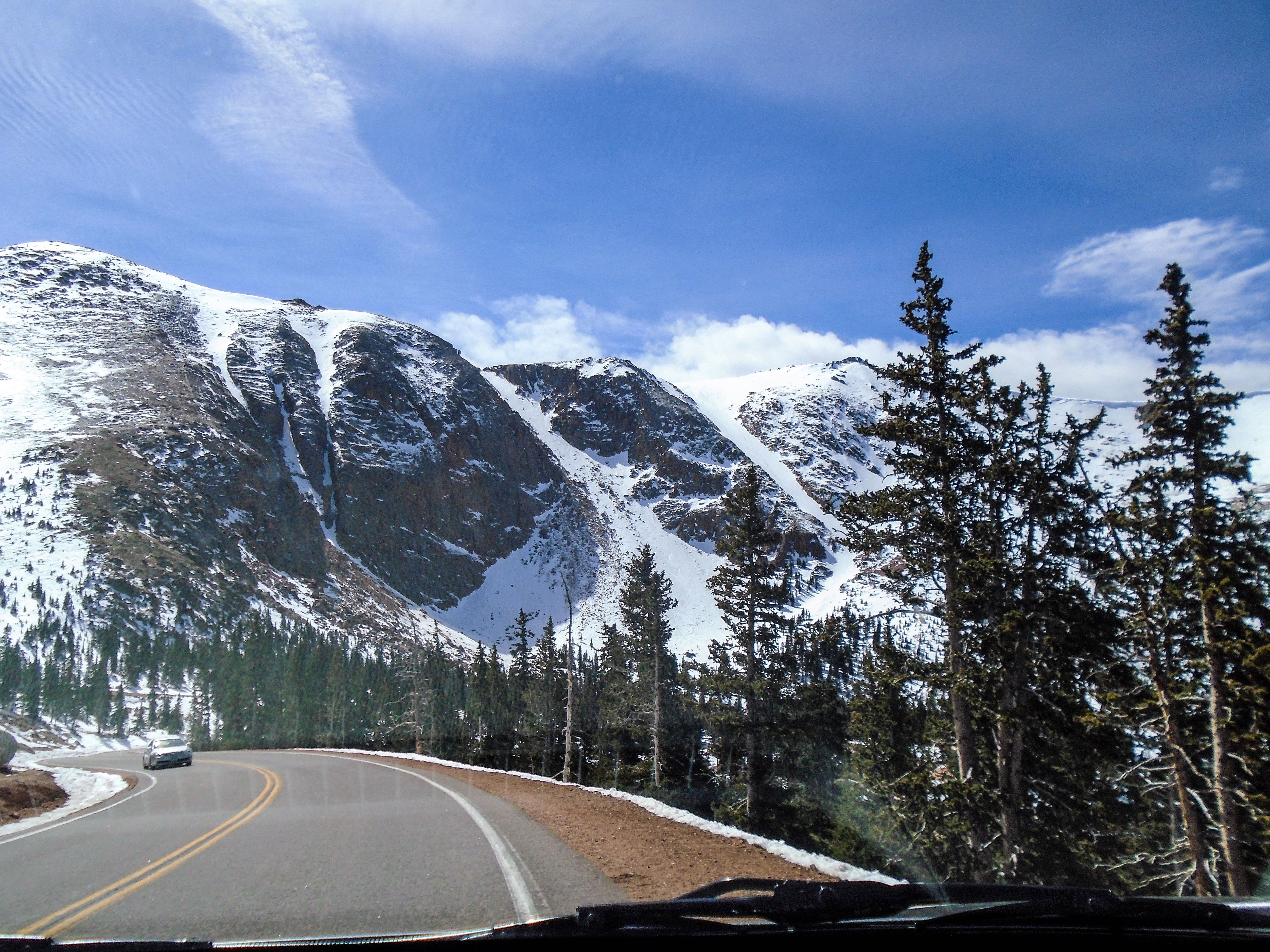
To drive to the top is the experience of a life time. The safe and scenic Pikes Peak Highway provides you the opportunity to enjoy 19 miles of mountain terrain, with frequent breathtaking views, four different Colorado life zones and unique animal sightings. From the summit’s various viewing areas, snap photos of Pikes Peak’s incredible scenery.
...and here we started...

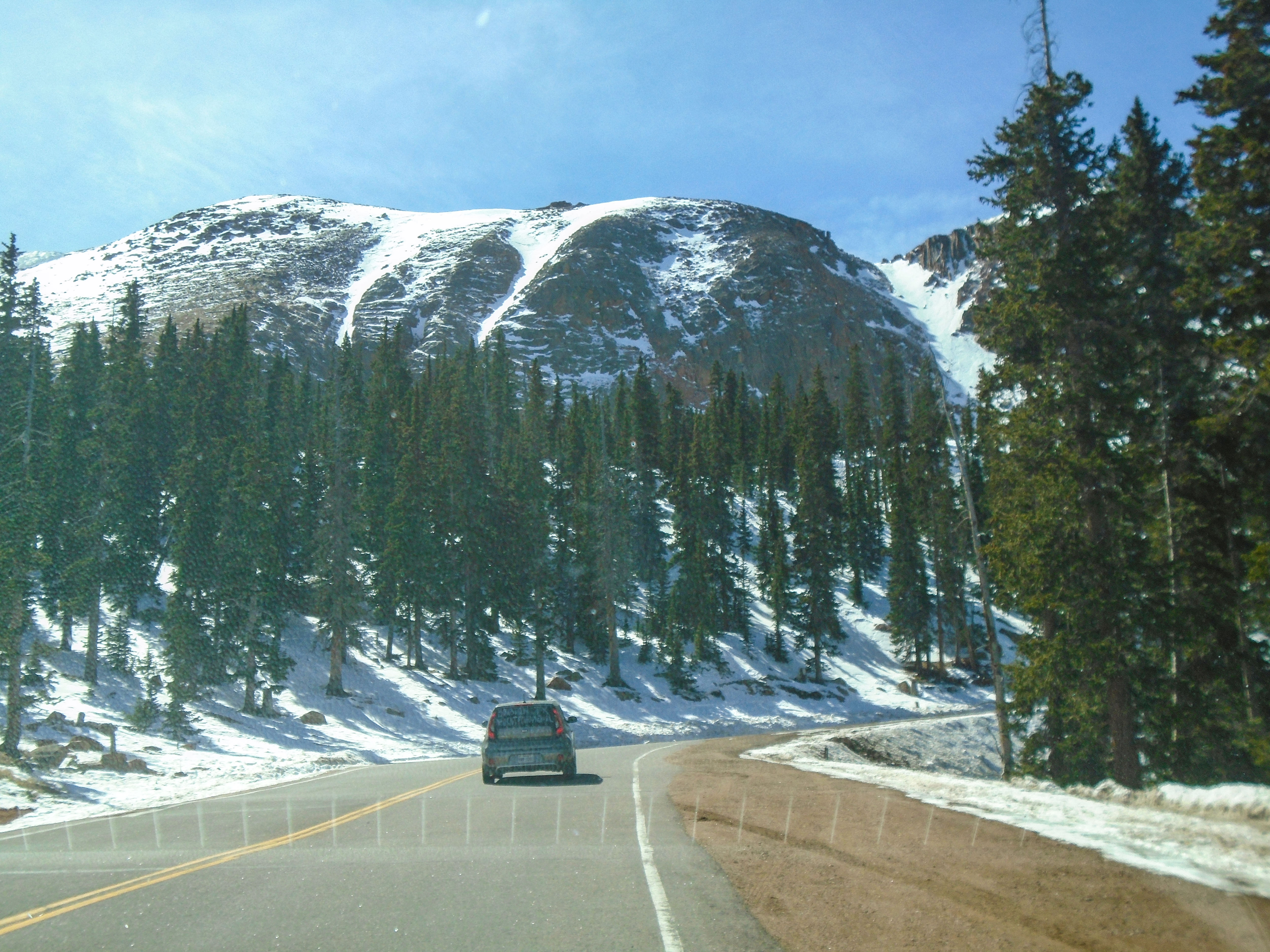
It was a beautiful winter day, and after we passed the Gateway, I felt my adrenaline rushing into the blood. It was only a beginning, but not knowing what to expect during the steep uphill driving, was a little bit of concern. There are specific driving tips to be aware of... To me, that trip is really a great test of your car; is it going to make it or not?
♦ Drive the first two miles past the tollgate in low gear or the low range to allow your vehicle to operate properly.
♦ Drive easy grades and short level stretches in intermediate gears to keep your vehicle from overheating.
♦ Roll down the windows and let the fresh air in. Please Do Not run your air conditioner while driving uphill.
♦ Please stay on your side of the road, including the straight stretches and the curves. Please Do Not cut the corners.
♦ If your vehicle is slowing other traffic, please pull off at a turnout to let them pass. Your courtesy will be appreciated.
♦ DO NOT PASS ON BLIND CURVES.
♦ Upon reaching the summit, run your engine at a fast idle for a few minutes to reduce overheating.
Therefore, we stopped only once and didn’t make a lot of pictures on the way up to the top.


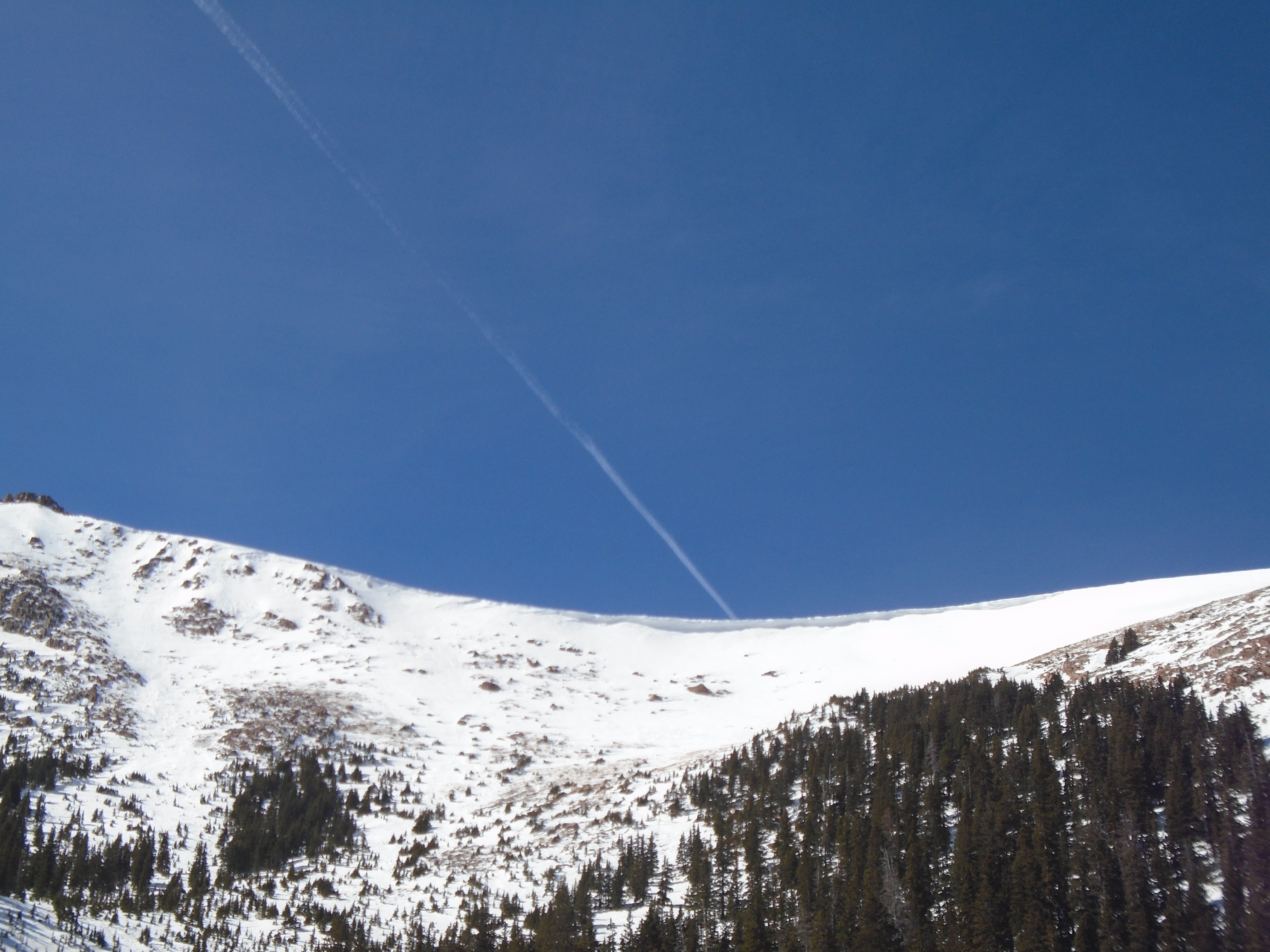
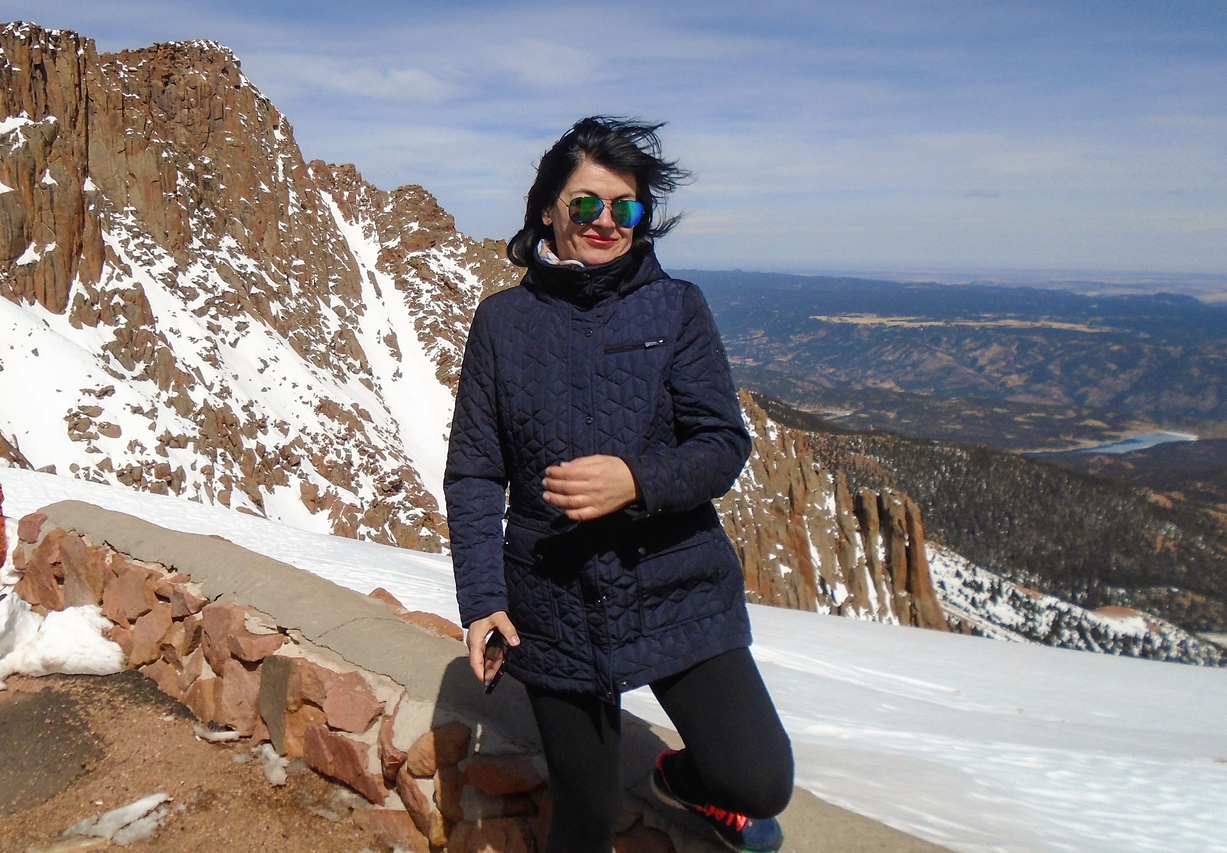
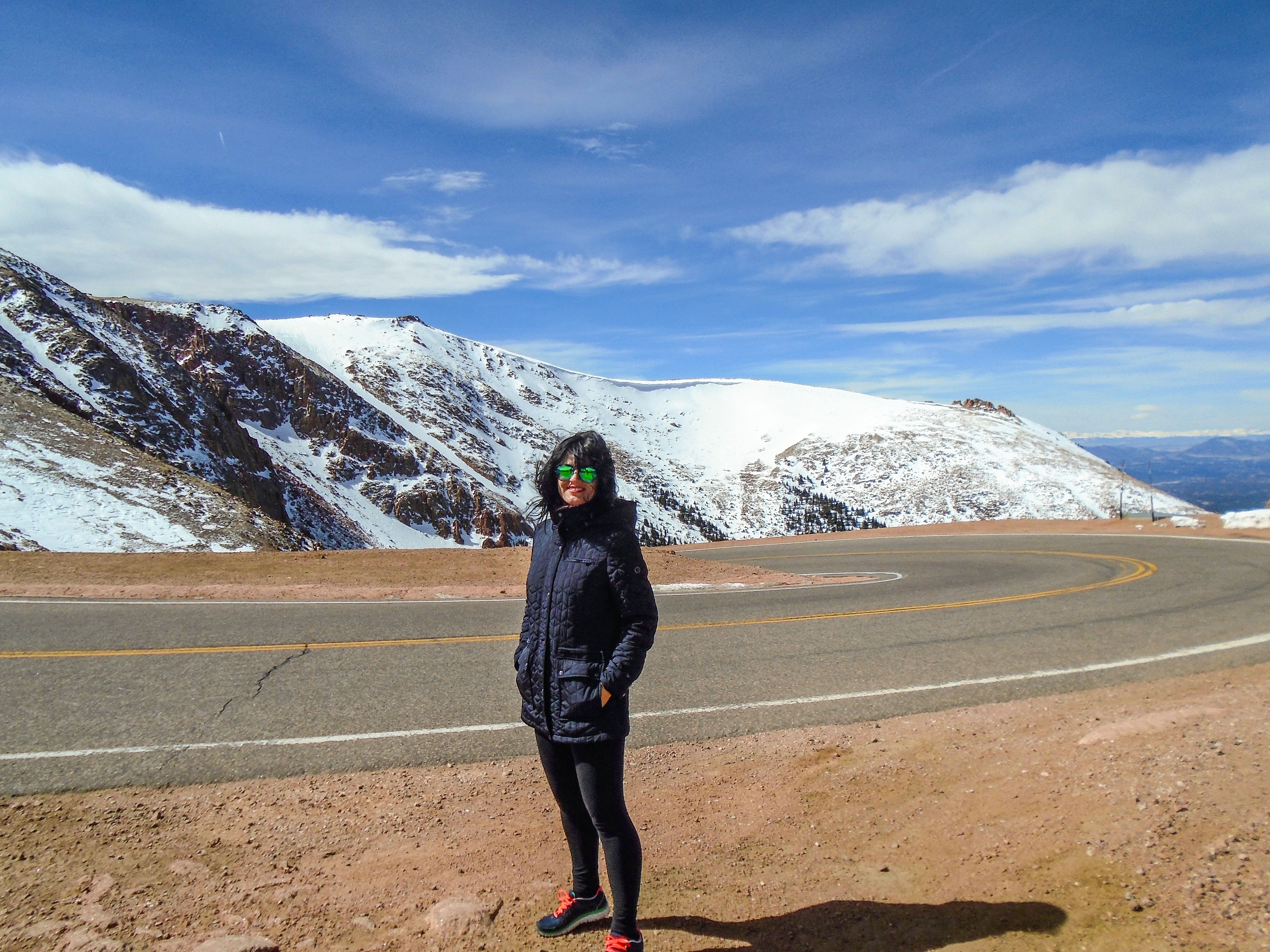
Although it was only 19 miles long drive to the summit, but ascending the mountain was so intense, at least the last 10 miles. Handling steep uphills through this breathtaking beautiful scenery was at the same time exciting and dangerous. It requires to deal with it very carefully. Anyway, we happily arrived to the summit.
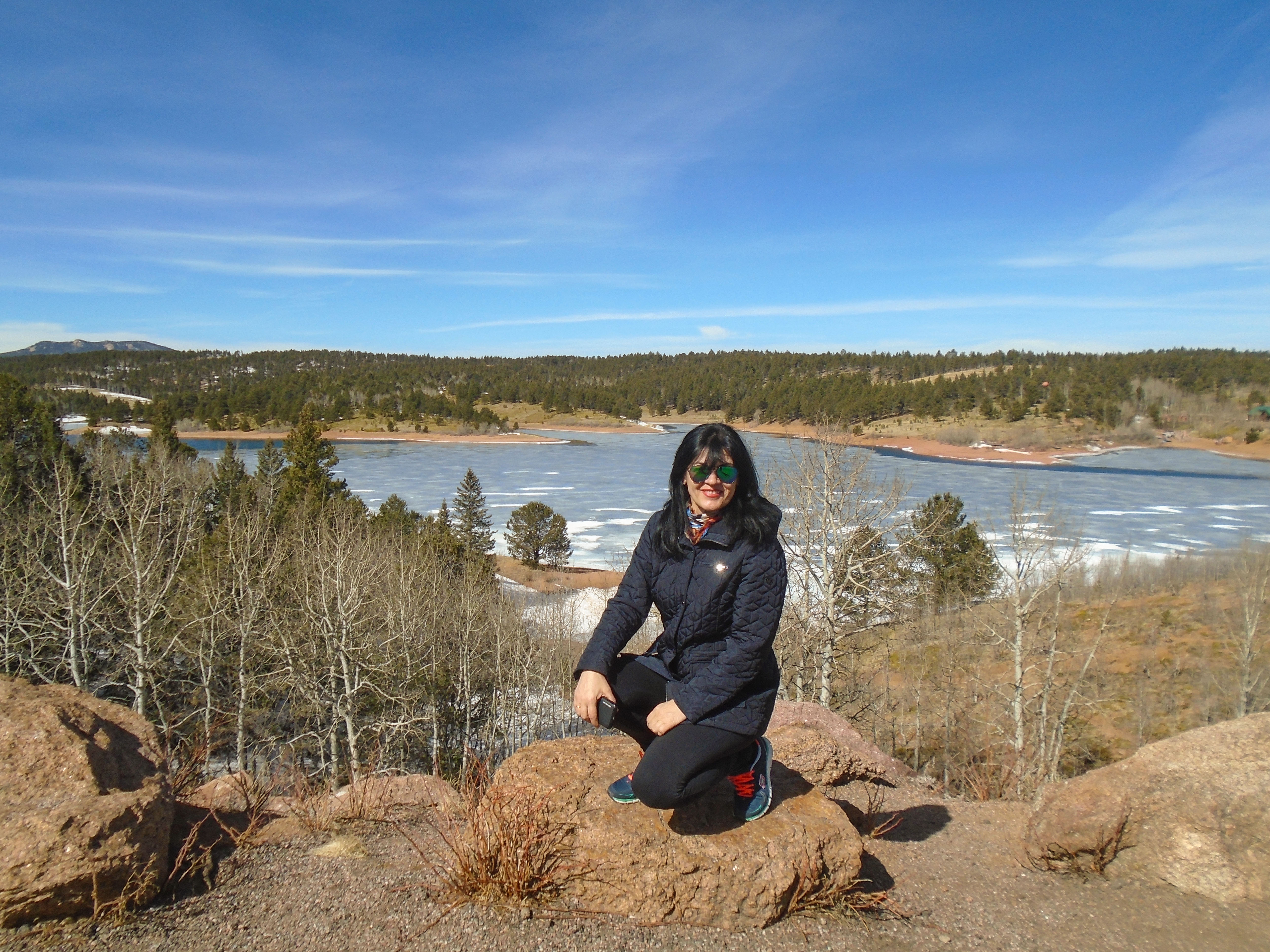
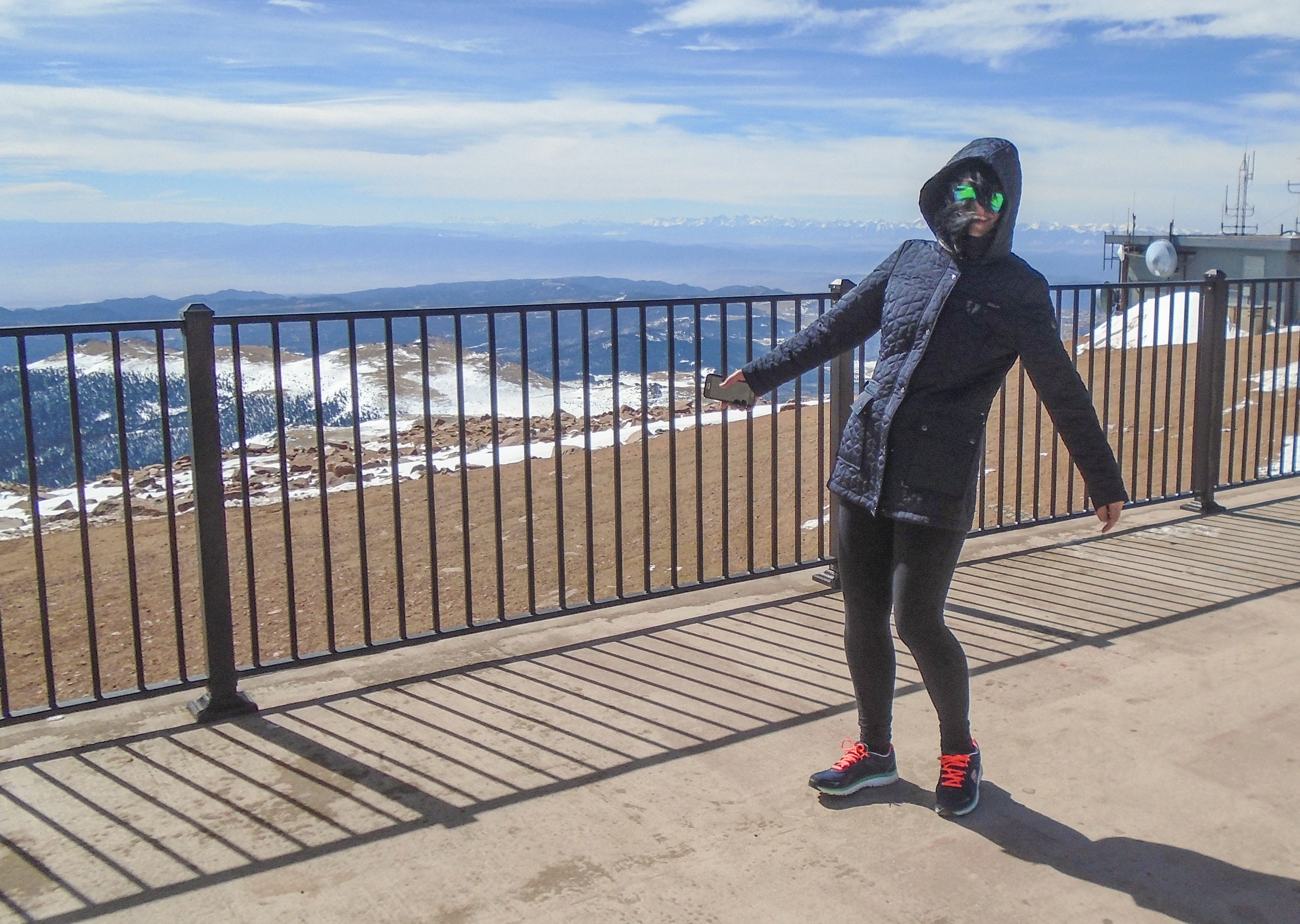
It was windy and very cold, at least for us coming from Texas. However, the scenery was stunning and worth of enjoying it every minute of our stay. It was windy and very cold, at least for us coming from Texas. However, the scenery was stunning and worth of enjoying in every minute of our stay. When we couldn't bear that cold anymore, we started our descend back towards Colorado Springs.

The most popular route by far is Barr Trail in Manitou Springs. This route is challenging, with a 7,000–foot gain in elevation and 13.5 miles of uphill hiking.
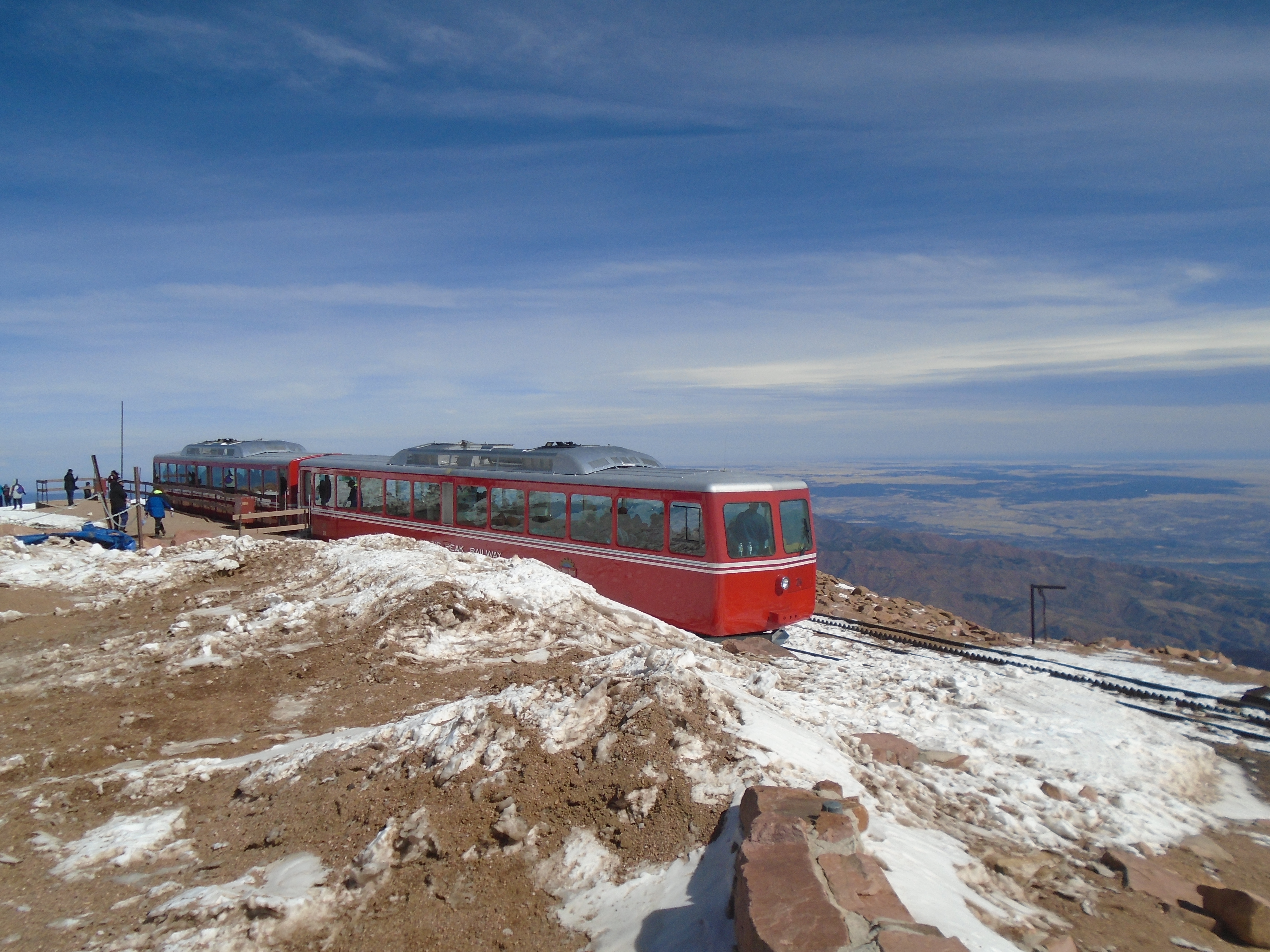
The Cog Railway now runs all year round for the warm summer days or the white covered winter ones, there is always a train going to the top of Pikes Peak.


Descending the Mountain could also be more complicated than we think. Using brakes is necessary all the time; therefore it can cause excessive heat in the brake system. That happened to us, but luckily we were almost at the end of downhills and felt the smell in a right moment. There were plenty of snow on the side and it was easy to cool off the brake system. Here are some tips when descending the Mountain:
♦ Drive down the mountain in low gear or low range. Let your transmission do the work. Save your brakes.
♦ Apply brakes firmly to reduce speed. Applying continuous pressure to the brakes causes excessive heat in the brake system. Overheated brakes will fade or fail.
♦ Stay on your own side of the road at all times; do not cut corners.
♦ Uphill traffic has the right–of–way at all times. Be prepared to give it a “brake”.
♦ As a courtesy to descending visitors, the Pikes Peak Highway Rangers conduct a brake check at Glen Cove during peak periods. They will check the temperature of your brakes for excessive brake heat.
♦ If other motorists wish to pass, let them do so. Use a turnout or wide spot to allow them to pass.

The best time to visit Pikes Peak Colorado is during the months between May and July, when the weather is the most stable and the mountain remains cool and inviting. It is important to dress in layers and be prepared for changing weather conditions.


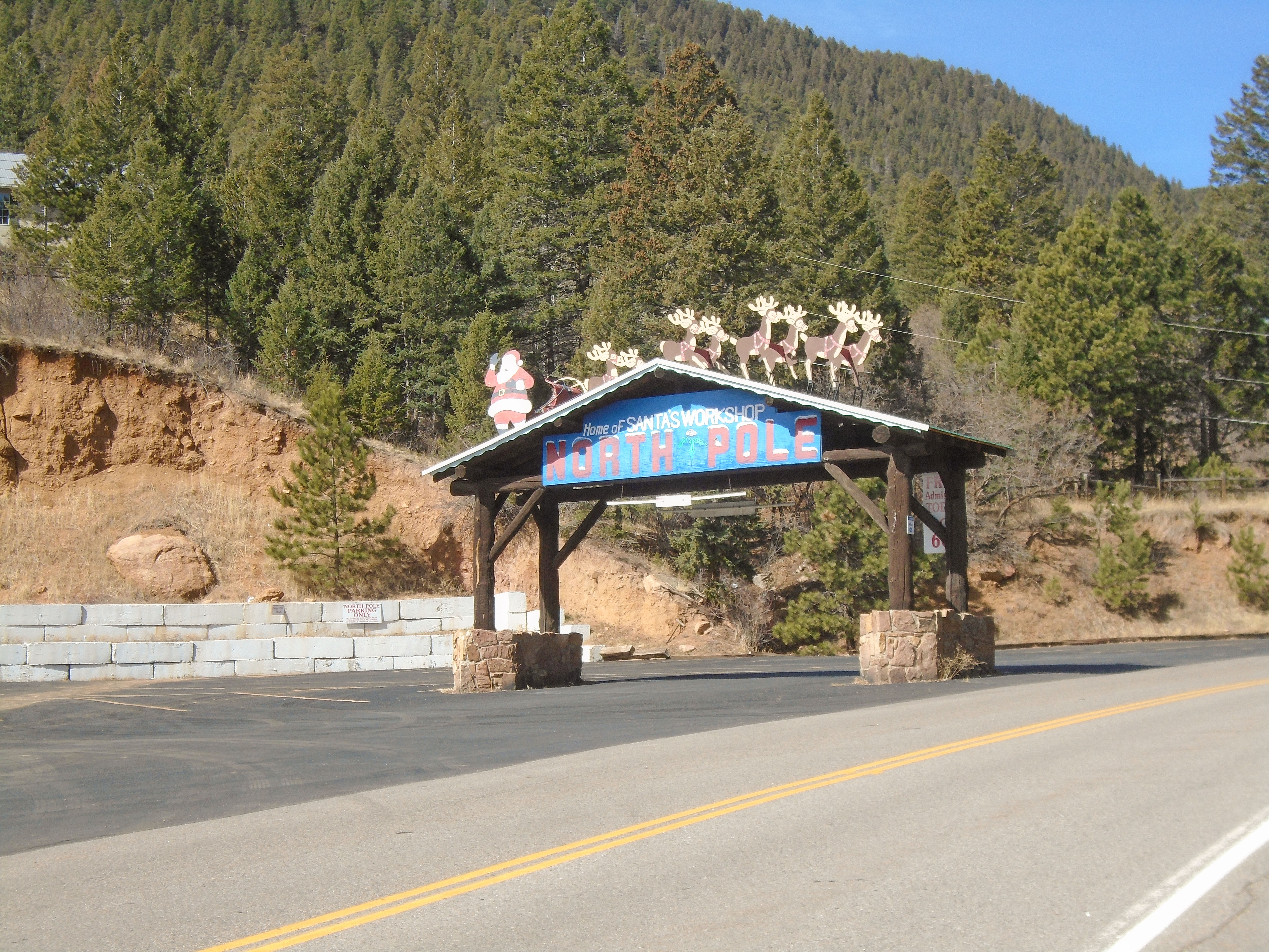
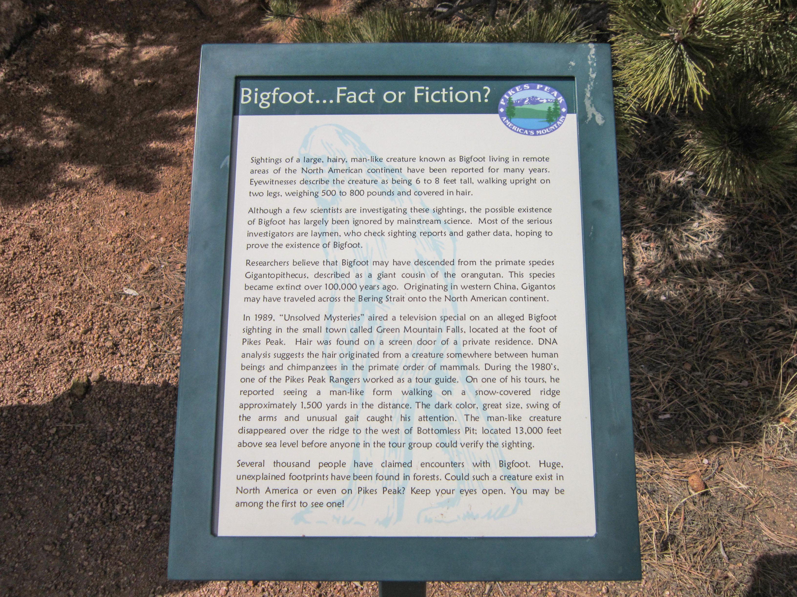
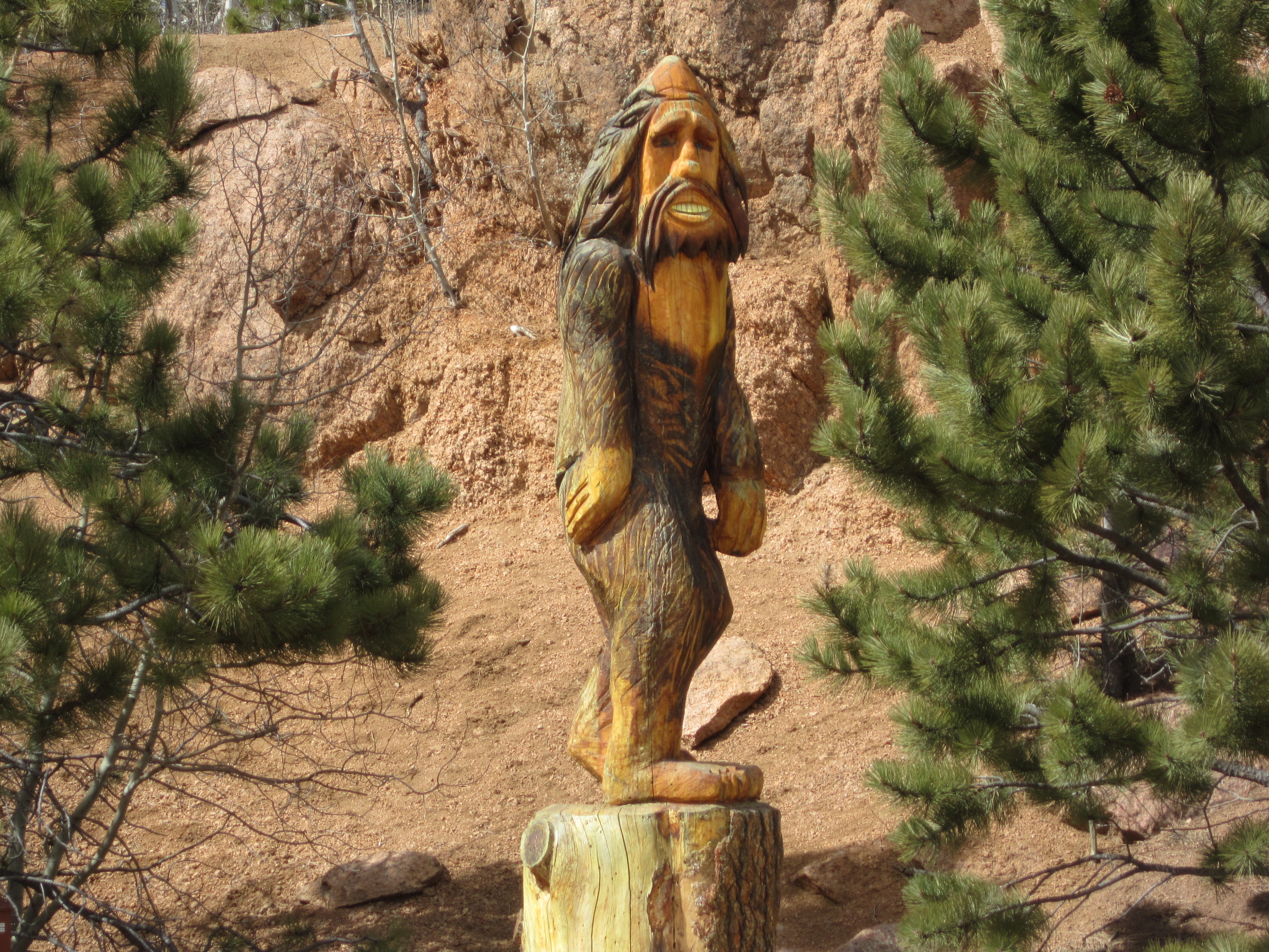
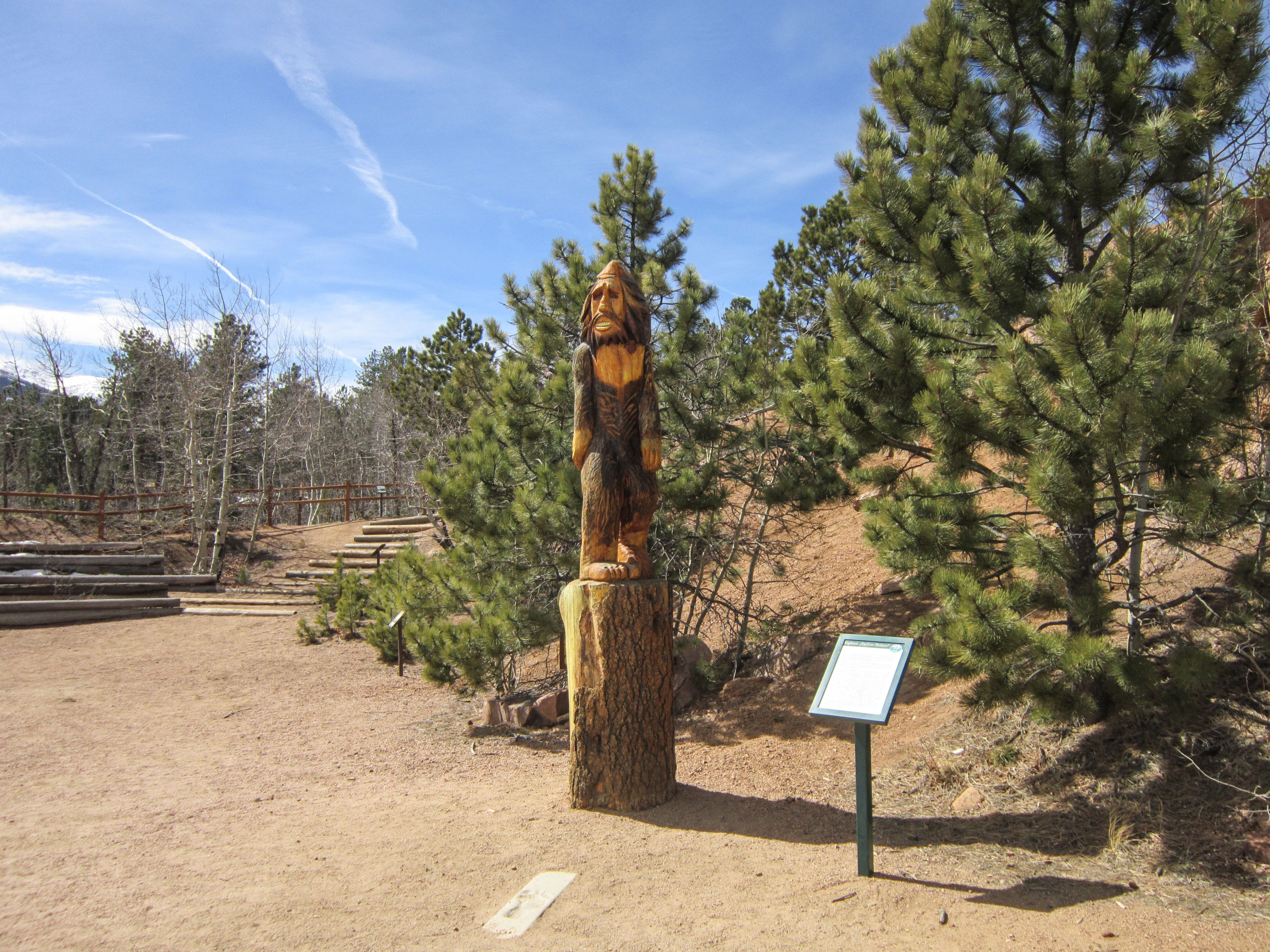
Pikes Peak Bigfoot fiction or true?
In June 2001, a family visiting Colorado Springs drove up the Pikes Peak Highway. While posing for a photograph near Crowe Gulch Picnic Area (MM 3), an 11 year old boy spots a Big Foot – like creature crossing an open stretch of grass. His nine year old brother is the only witness. Their father was the one taking the photograph, and had his camera in hand at the time, but did not turn to snap the shot. Colorado is home to many sightings and reports of the creature also known as the Yeti, the Sasquatch, the abominable snowman, the hairy, giant, missing link, etc. said to roam the wilderness, leaving footprints and few other clues behind. Colorado has long been considered as one of the most active places in the country for Bigfoot, with hundreds of sightings reported here, some dating as far back as the 1800s. Fact, fiction, or somewhere in between, the story of Bigfoot continues to be told with new sightings happening frequently.

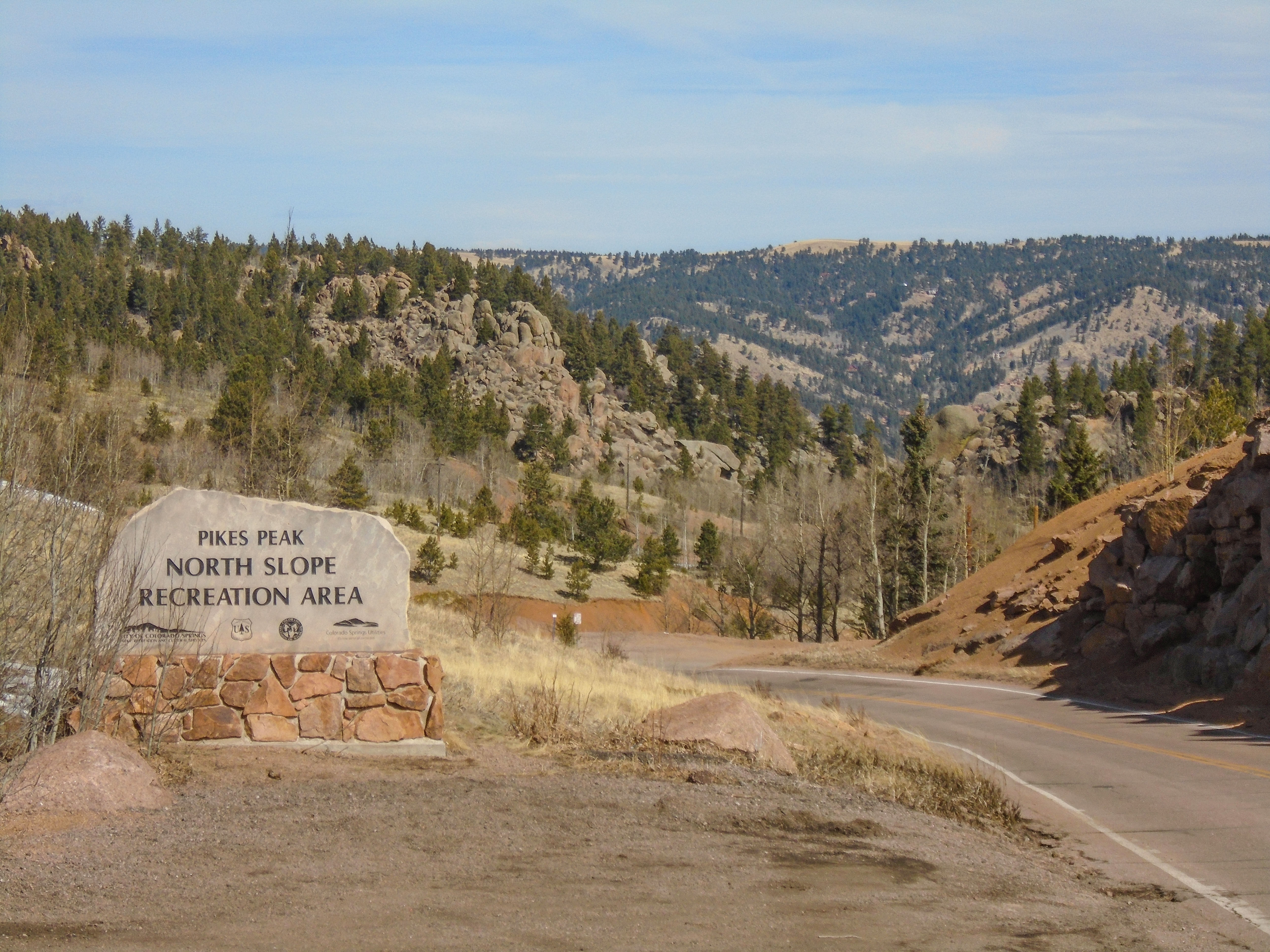
Is Pikes Peak Colorado only known for its natural beauty?
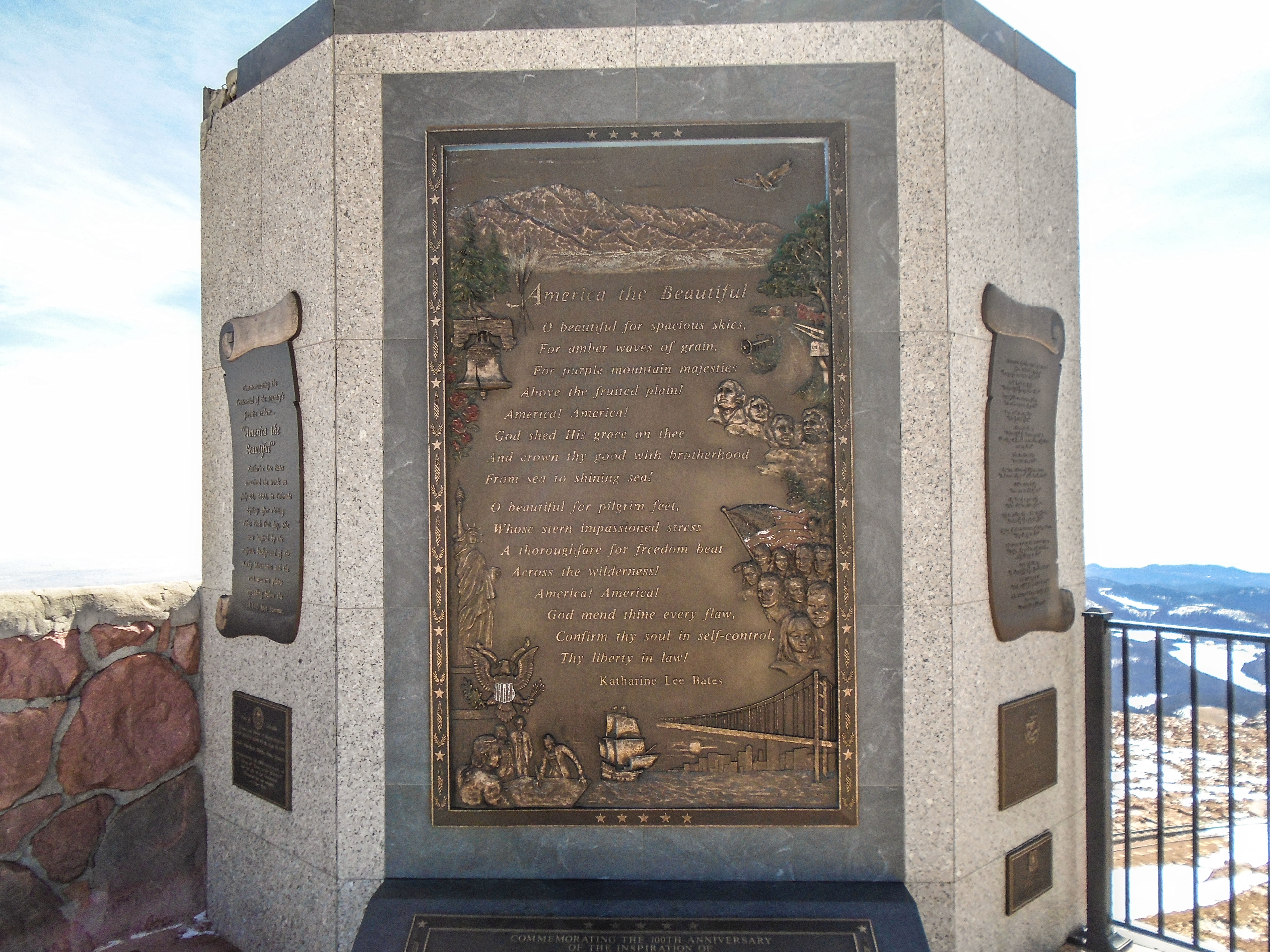
No, Pikes Peak Colorado also has a rich history and cultural significance. It was once a sacred site for the Ute tribe and was the inspiration for the song “America the Beautiful”. Additionally, it was home to a thriving gold rush in the late 1800s, and visitors can still see remnants of the mining operations today. Pikes Peak Colorado is a true natural wonder and a popular destination for tourists and outdoor enthusiasts alike. With stunning views, challenging hiking trails, and a rich history, there is something for everyone to enjoy. Whether you choose to drive to the summit, take the cog railway, or hike the Barr Trail, you’ll be rewarded with unforgettable experiences and memories that will last a lifetime.

Next: Denver, Colorado